The One with the Boats

And away we went! Over the next two days we planned to travel from the Porcupine Mountains to Sault St. Marie, and back over the Mackinaw Bridge, cutting through Canada into upstate, NY for a quick overnight before our last leg of the trip home. The weather has turned incredibly hot, an actual heat wave spreading across the midwest. Poor Kevin is always running – as we drive, the generator thrums, running the air conditioning.

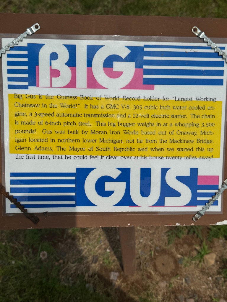
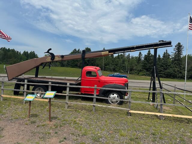
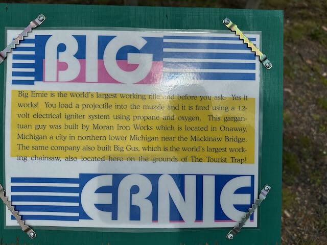
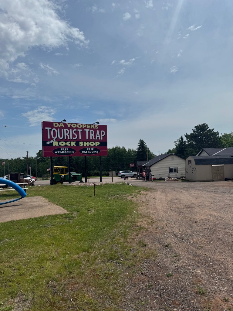
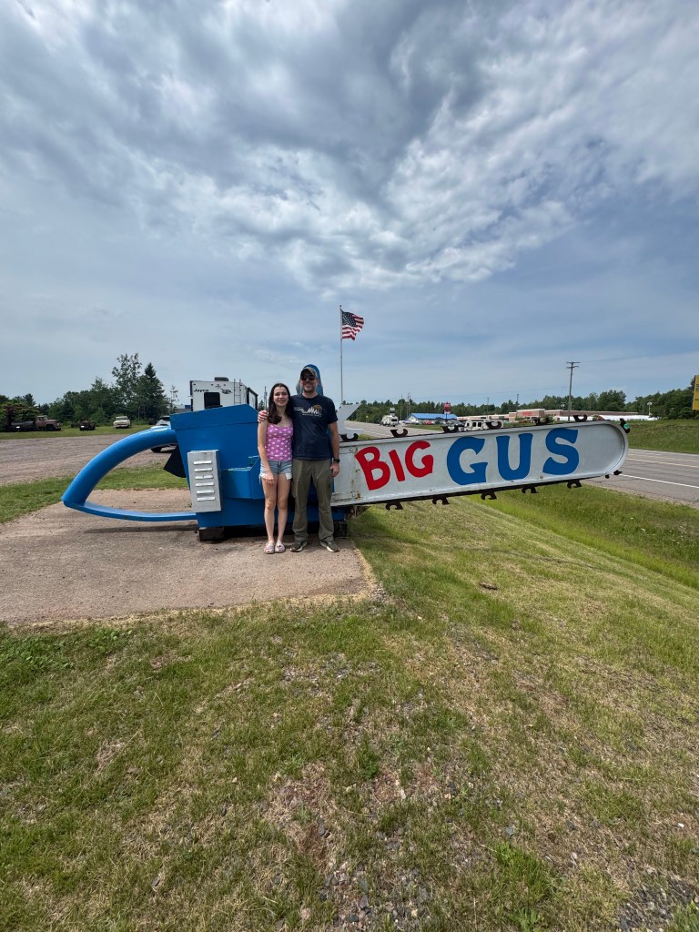
To ease the pain of the end of our vacation, we always like to squeeze in a few more fun stops just to make it last as long as possible. On the way out of the Porcupine Mountains area, we made one ridiculous side-quest at Da Yoopers Tourist Trap, which is exactly what it sounds like… souviners, a rock shop and a lot of “The World’s Largest… (chainsaw, rifle, etc.)”. Super kitchy and great for a couple of laughs!
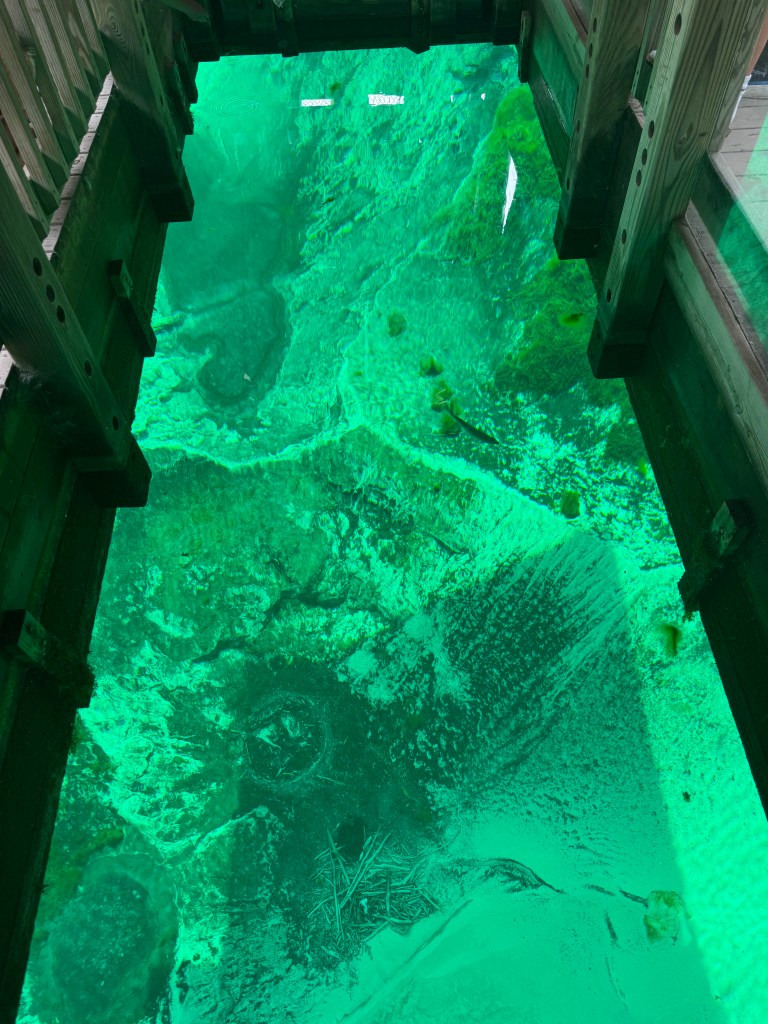
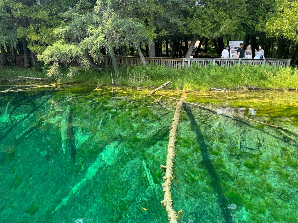
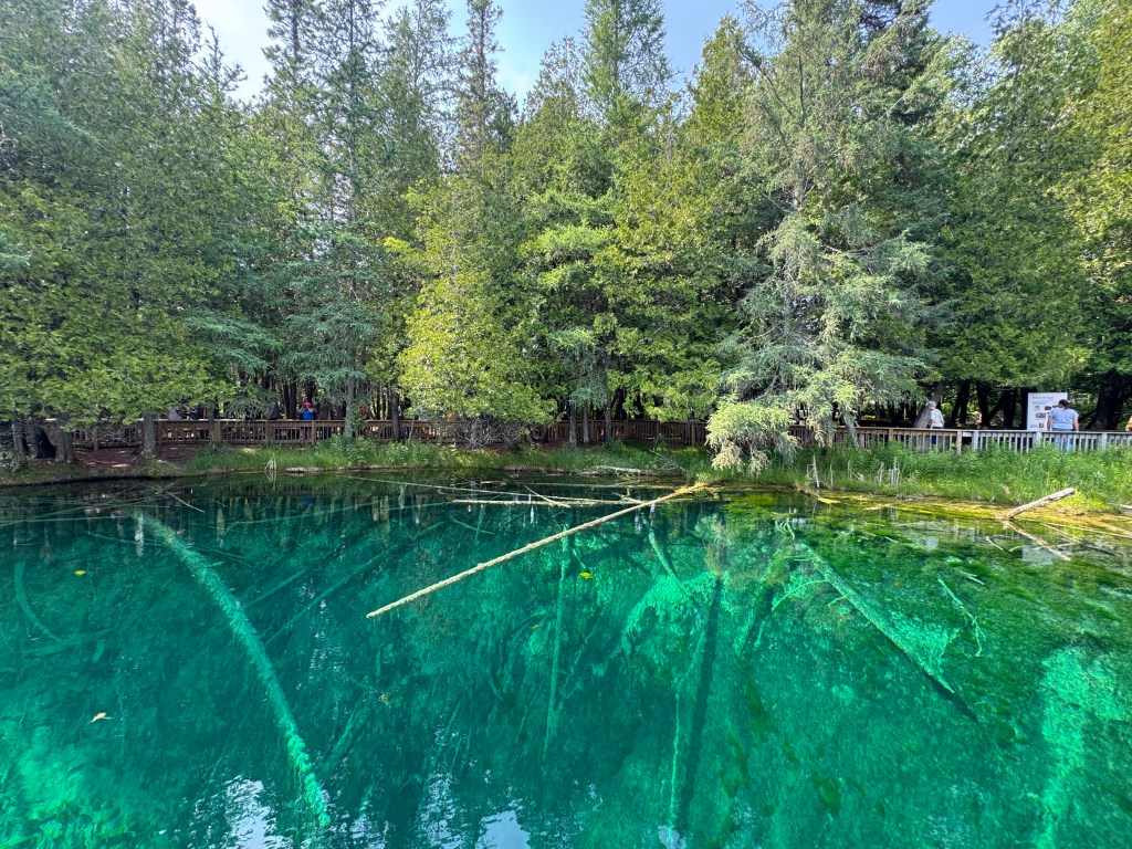
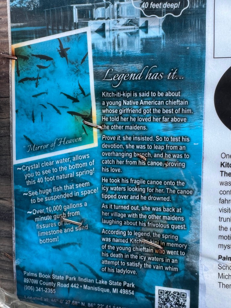
The six-hour drive to Sault Ste. Marie was interrupted by one planned stop at Palms Book State Park (another chance to use our Recreation Passport), in Manistique, to see Michigan’s largest natural spring, Kitch-iti-kipi, Mirror of Heaven in the Ojibwe language. Locally known as “The Big Spring,” Kitch-iti-kipi is a crystal clear freshwater spring that pumps 10,000 gallons per minute through fissures in the limestone at the bottom.
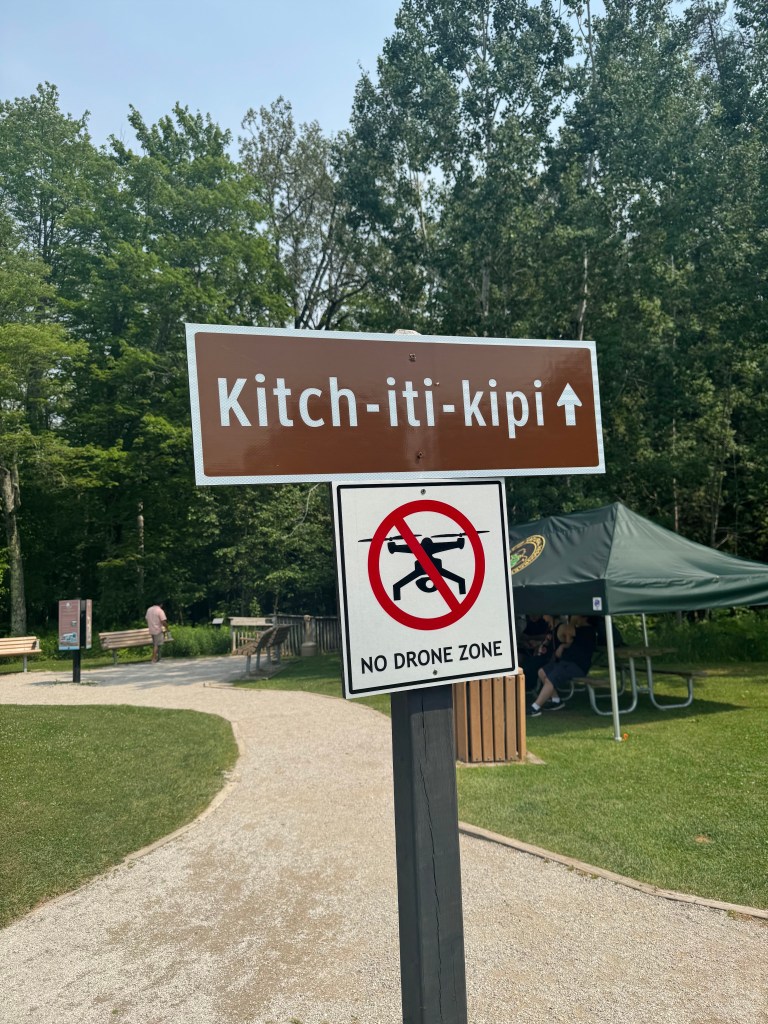
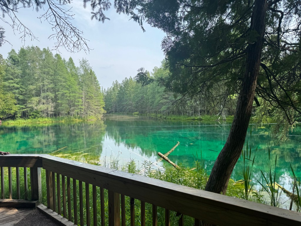
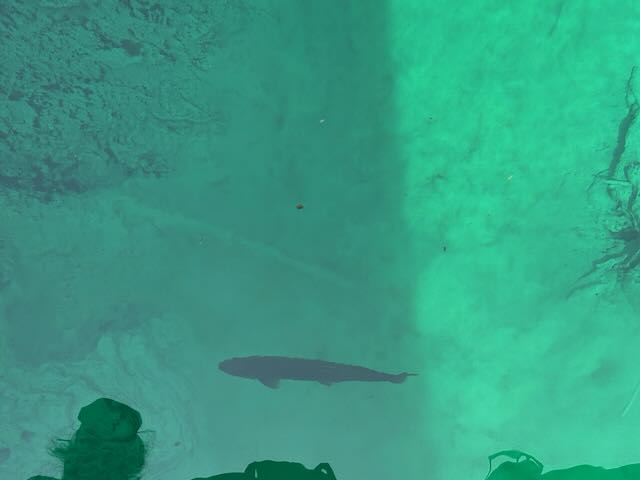
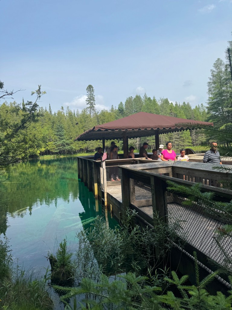
The four of us were glad to get out and stretch our legs at the park and we walked the short path down to the raft. The pool of water is a brilliant teal and the bottom a more emerald green. A cool breeze drifted off the water, providing relief from the sweltering heat. The water is a consistent 45 degrees year round. No swimming or fishing is allowed, but there are large fish that live in the lake: brown trout, lake trout, and brook trout. We boarded the large wooden raft to go out to the middle of the spring. It is on large cables and passengers aboard the raft turn a large captains wheel to move the raft along the cables. Thankfully, our raft was full of eager children all competing to spin the wheel, so we just enjoyed the cool air coming off the water and peered over the opening in the middle of the raft to get a clear view of the fish and rocks down below. A quick stop, we spent about 30-minutes at the spring before heading back on the road.
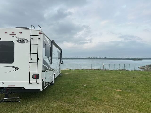
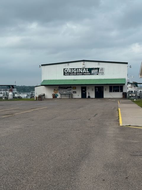
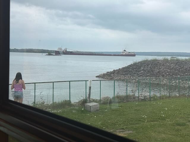
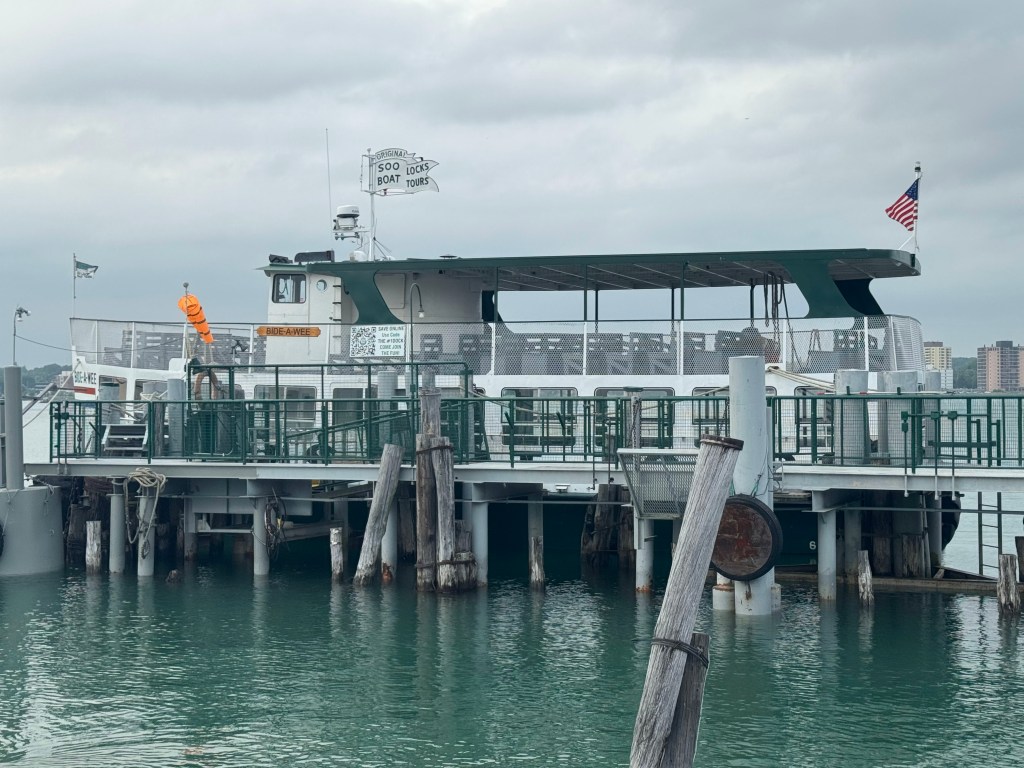
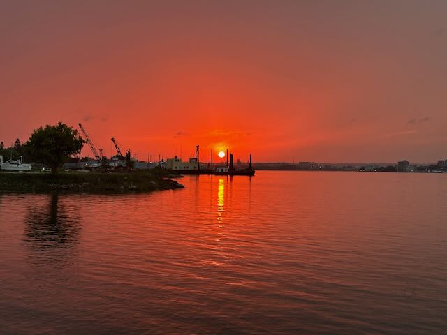
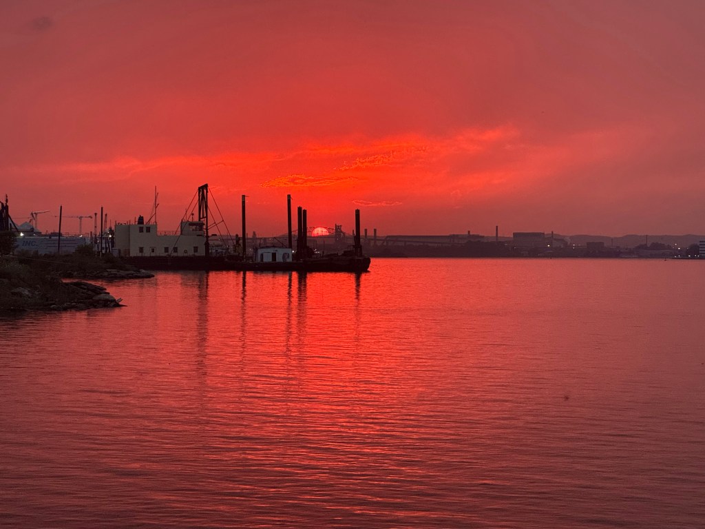
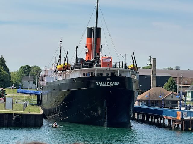
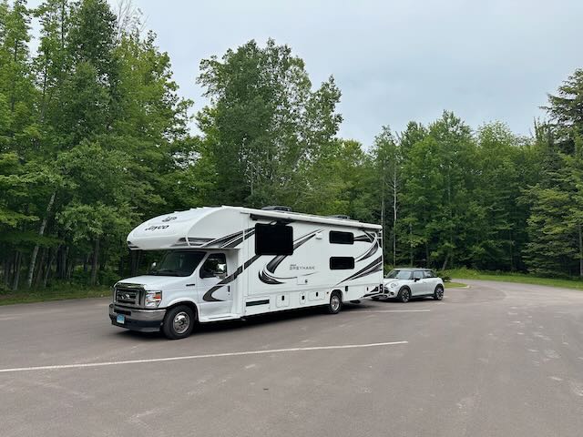
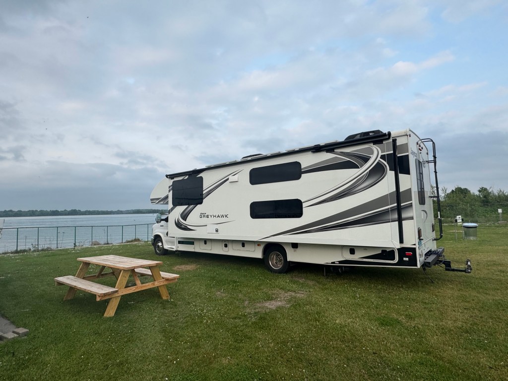
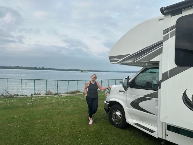
By 7:00 PM, we were set up at our next overnight stop, The Original Soo Locks Boat Tours, a Harvest Host in Sault Ste. Marie, MI. We chose a spot looking out over the St. Marys River, which connects Lake Huron and Lake Superior and is also the border between the U.S. and Canada (If you look across the river, you are looking at Sault Ste. Marie, ON – sister city). The river creates a 21-foot drop in elevation between the two bodies of water, creating rapids that make it impassible. To allow commercial freighters to navigate from one lake to the other, the Soo locks were created.
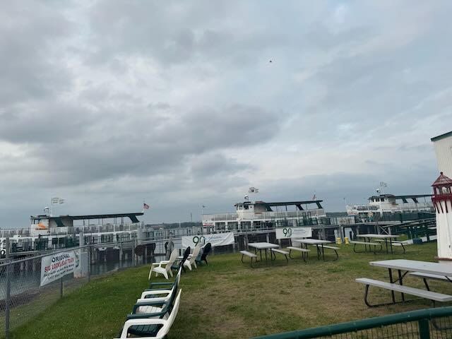
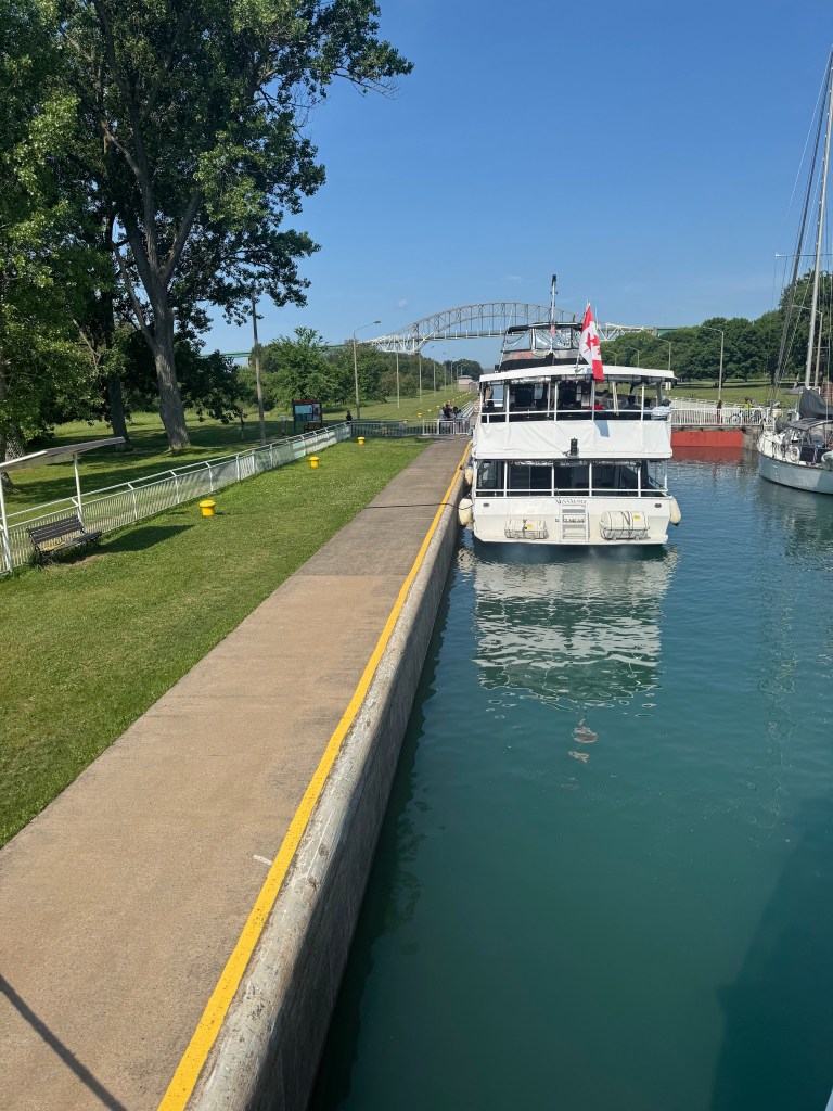
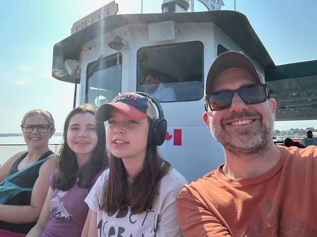
After a much needed night of sleep in air-conditioning (thanks, heat-wave), we boarded the Bide-a-Wee tour boat for a two-hour tour of the Soo locks. Although we do not pay to stay at Harvest Hosts, one of the conditions of the membership is that you support the small businesses of the hosts, and we also wanted to take a close look at the locks. It just so happened that our tour was on July 1st, which is Canada Day, so the boat was decked out in red, white, and maple leaves.

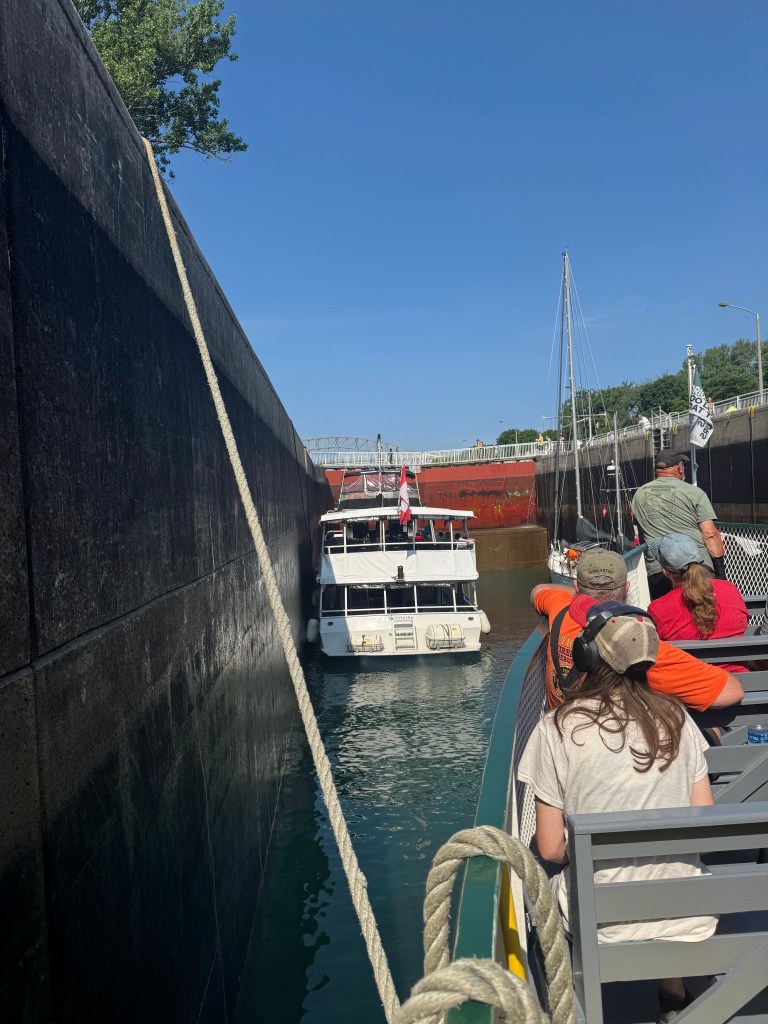
Currently, there are two working locks: Poe Lock (Canada) and McArthur Lock (U.S.A.), with a third lock being built and projected to open around 2030. The Poe Lock is significantly larger and can accommodate freighters of around 1,000 feet. The McArthur Lock is much smaller and is primarily used for smaller cargo vessels and recreational water craft – this includes jet-skis and kayaks! We started our boat tour by passing up through to Lake Superior via the Poe Lock. Vessels are tethered to the lock via a rope. When the gates at the St. Marys River end close, water is let into the lock and the vessels are raised. Then, the gates at Lake Superior open and the vessels are untethered and exit the lock. The locks are maintained and operated by the Army Corps of Engineers and there is no cost to use the locks.
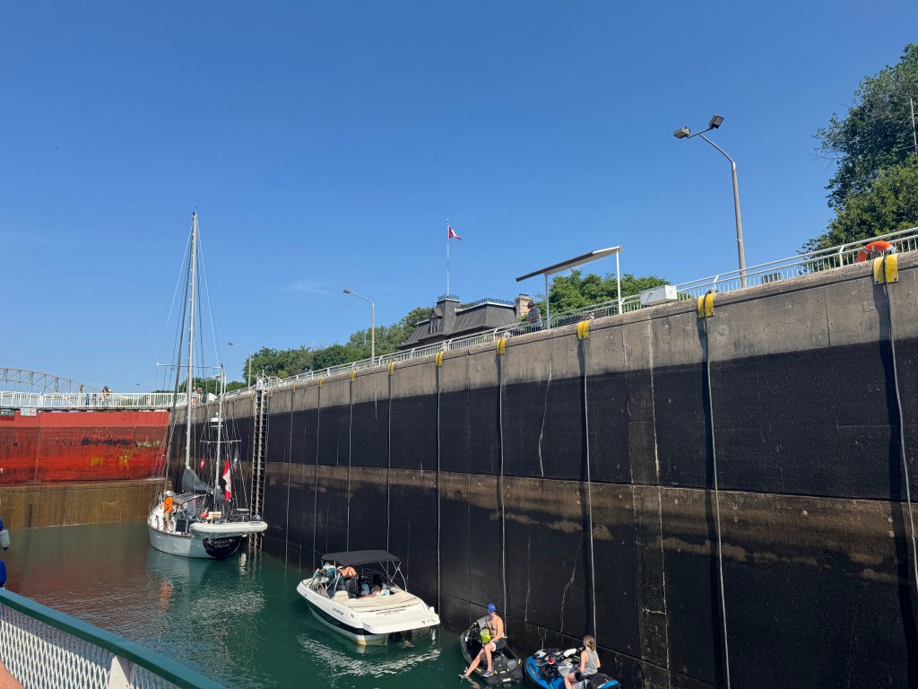
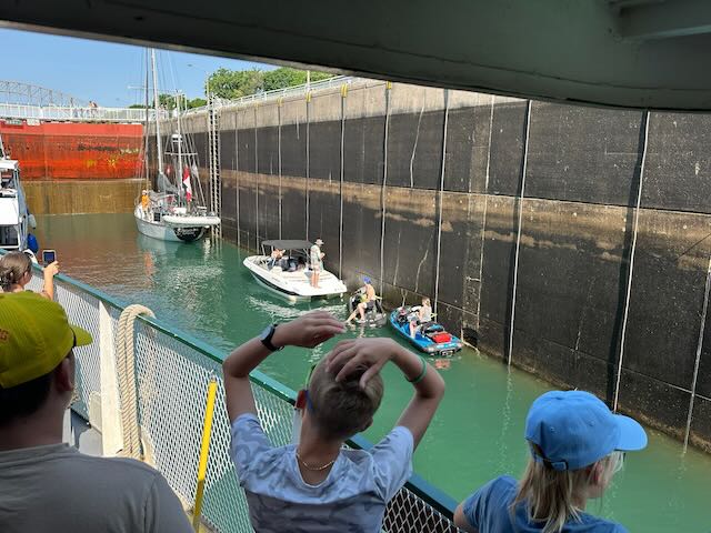
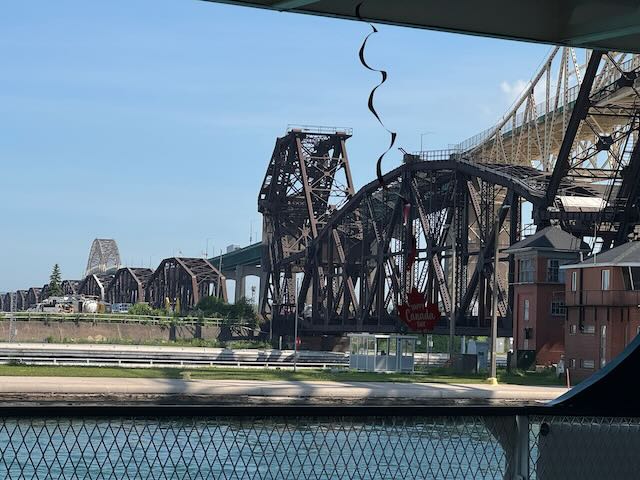
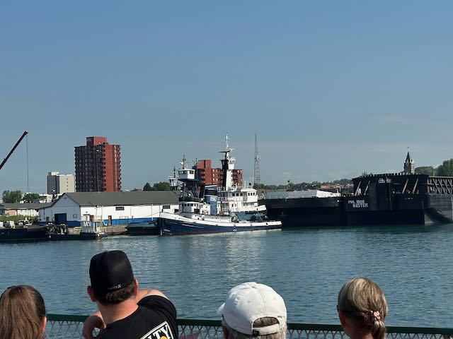
As we toured the areas between the Poe and McArthur Locks, we were able to see how the area continues to develop in order to respond to the growing economic demands and keep the Great Lakes region competitive in global markets. The new locks will allow for fewer delays in passing through, which will increase the amount of goods that can pass through the region on their way to the Atlantic Ocean. Additionally, the Soo Locks make their own electricity – actually, they only need 5% of what they make and the excess is sold to the local power companies.
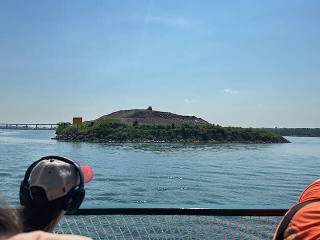
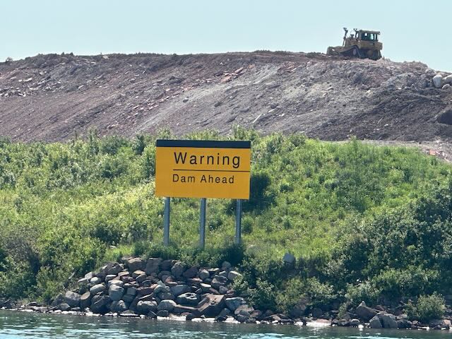
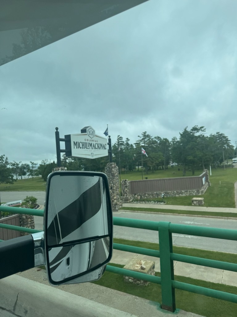
It was a gorgeous day to be out on the water. I think Alyssa and I were both a little wary of getting on a boat your since our last boat tour in Acadia resulted in horrific seasickness, but the size of the boat and the stillness of the waters made for smooth sailing! We departed Sault Ste. Marie and began making our way toward Buffalo, NY.

Buffalo is about nine hours from Sault Ste. Marie (add 2+ hours in an RV for gassing up and just being big and slow). Our dilemma was where to spend the night. We will absolutely pull over at t truck stop or a rest area and make camp for the night, but whenever possible, we prefer a safer option, like a campground or Harvest Host. We are members of Kampgrounds of America, so a KOA is usually available. After looking at the KOAs near Buffalo, and finding no availability with full hookups, we found a Harvest Host located at the Premier Dog Sports Event Center just outside Buffalo, in Lancaster, NY. Bonus – it offered spaces with full hookups! Yes, please!!!

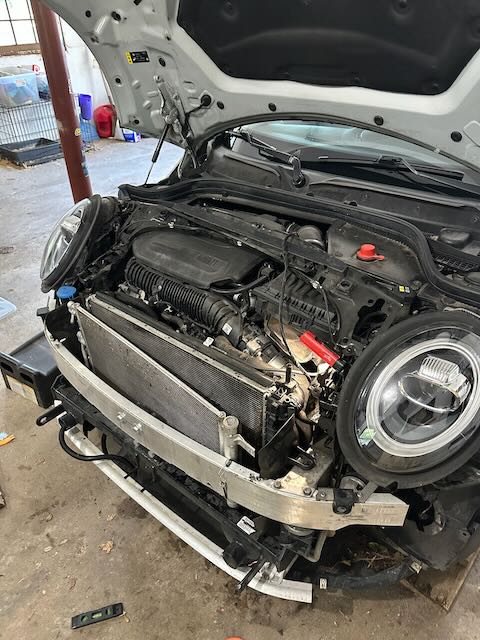
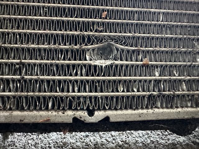
On the final day of our trip, we drove an easy six hours home. We detached Elizabeth and drove her, fly-covered and dusty, the 25-feet into the driveway. Tomorrow, she will get taken apart and we will assess the radiator damage (*sigh*). Back home – greeted by all the pets and feeling grateful for another eventful trip. How lucky we are to see the country from our home on wheels!
The One with the Megastorm

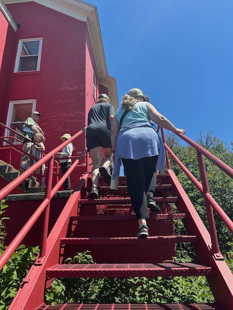
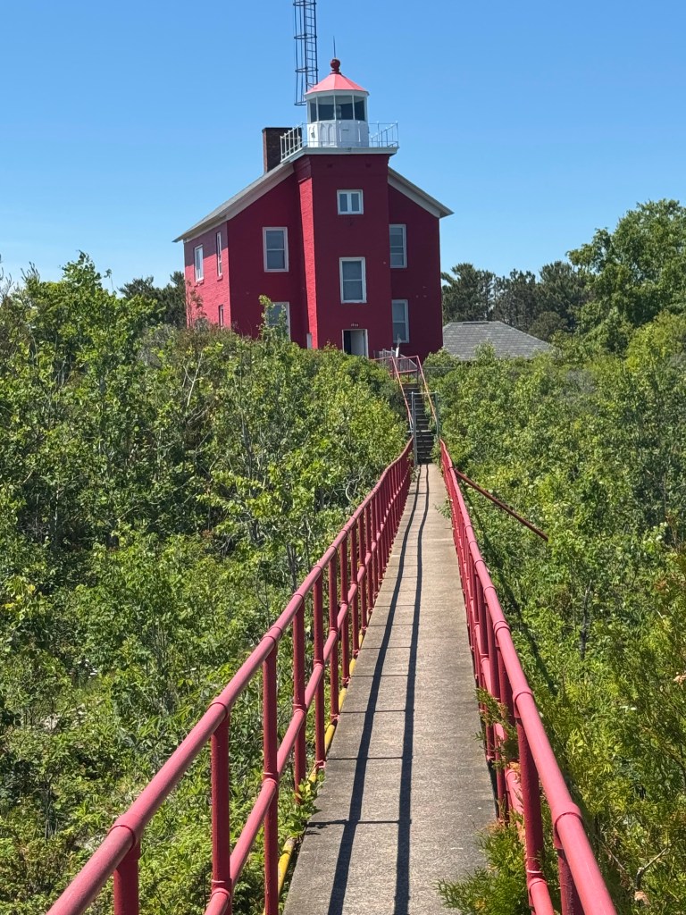
With the bug situation spoiling Rob’s plans for fishing at the campground, we pivoted into Plan B – several small outings. First up, the Ontonagon Lighthouse, where we could climb all the way to the top!!! This lighthouse was in operation from 1866 to 1963 and was occupied by keepers and their families. The most incredible thing about this lighthouse is that nearly everything is out in the open: books, games, kitchen tools, etc. Hardly anything is under glass. It makes it so that you get a feel for what life might have been like for the keepers and the families living there. The Ontonagon Historical Society ensures that history is preserved so future generations can understand the logging, farming, mining, marine, and social life of the area.

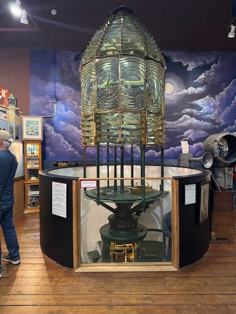
Much to our delight, we were able to look around the lighthouse on our own and even climbed the spiral staircase all the way up to the light! The lighthouse had a 5th order fresnel lens, which is perfect for bays and harbors. It ‘s beam is visible for 10-15 nautical miles. The lens is not located at the lighthouse, but rather at the Museum in downtown Ontonagaon. Given its delicate nature, visitors would not be allowed up to the top of the lighthouse if the fresnel lens was still in place.

Heading back to the park, we stopped for lunch at the Porkie’s Outpost before droving to the Lake of the Clouds Overlook. Several trails lead to Lake of the Clouds, but they are full-day hikes, which we had no intention of doing. From the overlook’s viewing deck, we saw stunning vistas over the lake and the surrounding forests. We saw several hikers loaded up with packs for hiking into some of the park’s backcountry campsites which are only accessible by hiking. I don’t think I will ever be an overnight hiker. Spending time outdoors and sleeping there are two very different experiences.

Next, we chose one of the park’s interactive trails: the Nonesuch Mine Trail. This trail leads to the Nonesuch Falls and takes you by the remains of buildings from an old mining town. The park has not tried to preserve these buildings, but rather has allowed to forest to reclaim the land, with nature overtaking the crumbling stone walls and new growth sprouting from cracks in the foundations. It was hard to tell what the buildings may have been used for, but their impressive size and dilapidated state gave the trail an eerie vibe. When the trail opened up into a rocky clearing, we were able to see the Nonesuch Falls before heading back to the trailhead.

By the time we reached our final destination for the day, the Summit Peak Trail, the sky had clouded over, providing some much needed relief from the heat and humidity. This trail is only about a mile out and back, but is steep and includes about 200 stairs on a wooden boardwalk leading up to a 50-foot observation tower. This is the highest point in the Porcupine Mountains at around 2,000 feet. By the time we got to the top of the observation tower, we were rewarded with a light breeze. On our way to the parking area, we passed a group of about eight men who were hiking into the area with their tents, sleeping bags, and fishing gear strapped to their backs. By the time we reached the end of the wooden boardwalk, the temperature had dropped about 20 degrees. And by the time we exited the woods, the wind was gusty, and the sky had darkened to a steely gray.

No sooner had we turned onto the main road back to the Presque Isle Rustic Campground, then the rain began. Not just a little rain – buckets of rain pelted the Mini and the trees swayed ominously overhead. It’s terrifying how quickly the storm came in and how powerful it was. With no cell service out of range of our camper, we could not receive any weather alerts for hours. The 12-mile ride back to the campground seemed to take hours. A tree hung low across the main road and we had to decide whether or not to drive under it (we did). The sides of the road flooded and branches and other debris littered the roadway. Even driving slowly and carefully, we ran over several branches, which didn’t seem like a big deal in all the chaos of this journey.

But it was a big deal. The Mini’s engine overheated, requiring us to pull over and let it cool down about three miles from our campground. It took us nearly an hour to make it the rest of the way back to our camper – starting and stopping every 50-100 feet to ensure the engine wouldn’t seize. We were able to coast in neutral with the engine off for a bit and finally made it back to our campsite in the torrential downpour.

If you followed our Glacier trip last year, you might remember that the Jeep’s engine failed, resulting in catastrophic damage that required us to replace it. So, this event triggered flashbacks of this time last year. When the rain stopped, Rob braved the hordes of flies and popped the hood to the Mini to find that there was absolutely no fluid in the radiator. It is likely that one of the branches in the road cut or punctured a hose, causing the fluid to leak out.

At the end of the day, we are hopeful that the damages to the Mini are not catastrophic. Once again, we will be towing an undriveable car home with us from vacation. What are the odds? We are thankful that we were not on the mountain when the storm began and that we avoided being struck by falling tree limbs as we drove. We read about the storm online and it seems that the area was pretty damaged and 2,000 people remain without power. I know that the hikers we passed entering the woods were well prepared and have likely endured many a storm out on the trails, but I wished for their safety just the same.

Tomorrow we will leave the Porcupine Mountains, and while it’s been fun, I believe I am ready to go.

The One With Our Mortal Enemy

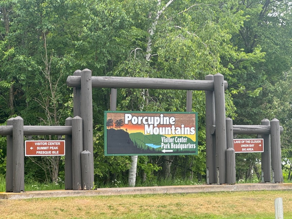
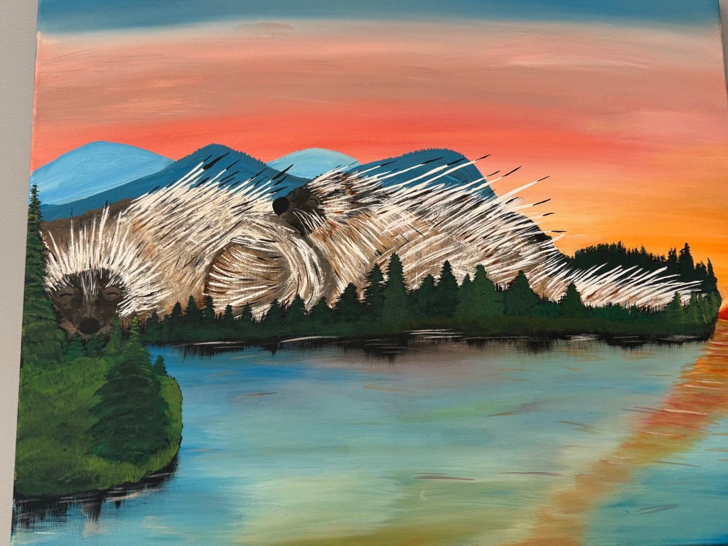
Leaving Marquette, we mentally prepared ourselves for a couple of days, essentially, “off the grid.” With our water tank full, gray and black tanks empty, and solar panels, we felt confident that we would be totally prepared for our time in the Porcupine Mountains, located in the Northwestern part of the UP. Porcupine Mountains Wilderness State Park is Michigan’s largest State Park at 60,000 acres. Made up of old growth forest, rivers, Lake Superior shoreline, waterfalls and hiking trails, the park is a popular destination on the UP. The Mountains get their name from the native Ojibwa people who thought their outline against the setting sun reminded them of kag, the woodland porcupine. They called them Kag-wadjiw, the Porcupine Mountains.

After a quick stop at the Visitor’s Center where we grabbed a couple of maps, scoped out some day-hikes, and got directions to our campground from the park rangers, we headed toward our campground – the furthest campground from the park’s entrance.

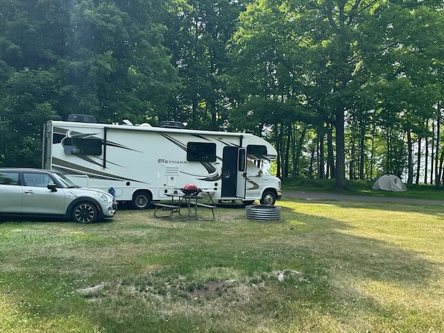
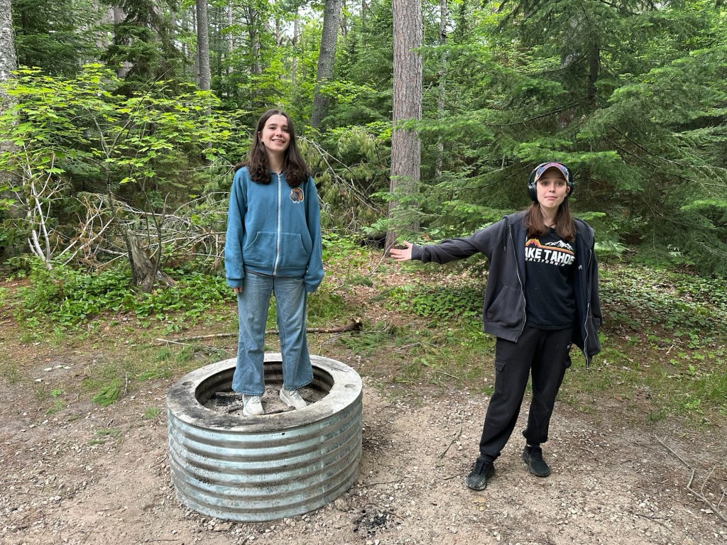
When we chose the Presque Island Rustic Campground in “the Porkies,” as they are fondly known, we did so with complete confidence. No generators permitted, gorgeous views of the river, plenty of scenic waterfall trails walkable from the campsite, and some of the darkest skies in the UP, meaning the stars would be brilliant across the night sky. Our campground was located about 30-minutes from the Park’s entrance. We drove along a thickly canopied paved road, marveling at how dense and green the forest was. We rolled into the campground mid-afternoon, using our Recreation passport to enter. Rustic? Yes. Not even the ranger hut had electricity. We had a spacious corner site with a picnic table and large metal fire ring. Without cash, we couldn’t purchase firewood, so we made a mental note to grab some while we were out and about. We don’t bring our own firewood to campgrounds, especially when we are out of state. Most campgrounds prefer you purchase their wood (or at least local wood) so you won’t bring in any invasive species that could harm the local environment. About a third of the campsites were occupied, a combination of tents, trailers, and RVs. So peaceful, so charming.

And then we opened the door to the camper.

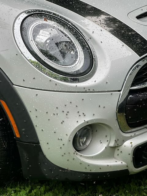
Upon stepping out of the camper, we were immediately swarmed by black flies. They covered the hood and doors of the Mini and clustered on the screen door. They landed on our arms, legs and faces. As if the sheer number of flies wasn’t bad enough, they also bit! Rob and I must have looked insane as we jumped around, waving arms and slapping at ourselves, trying to protect our bodies from a thousand little pinpricks. As soon as we disconnected the Mini, we scrambled back inside, realizing that in the 2.5 seconds we had the door opened, we had let in about 20 of these monsters. Picture two grown adults swatting flies with rolled up maps and pamphlets while simultaneously squawking and trying not to get their ankles bitten.

Having temporarily relieved ourselves of these pests, we did what anyone else might do in this predicament – we Googled it. Marlie found out that there were probably three types of insects: house flies, stable flies (the biters), and mosquitos, and that they were most prevalent at dawn and dusk, and near water sources. Regular bug spray was largely ineffective with them and burning a low, smoky campfire would be the best way to get some relief. Super. No cash = no wood. Our campsite was directly next to the river, the humidity was twice what it had been in Marquette, and it was around 5:00… not quite dusk, but that meant it would only get worse. Surely the flies weren’t everywhere in the Porkies and would most certainly disappear when it got darker and cooler, right?

Wrong. Determined to make the best of the situation, Marlie and Rob took an exploratory lap around the campground, circling down by the river. They came back after ten minutes full of red welts, reporting that the fly situation was worse down by the river. In fact, Rob said that, at one point, the back of Marlie’s shirt was completely black, covered with hundreds of flies. What were the tent campers doing? We could see them doing the same slapping and dancing as we were. The thought of being trapped in an airless tent, many with dogs or kids, gave me anxiety. Citronella candles and spraying the door and screen of the camper had little effect on the intensity of the flies. Even the smoke from our grill didn’t make much of a difference.

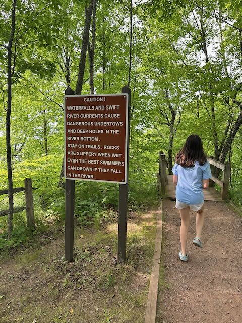
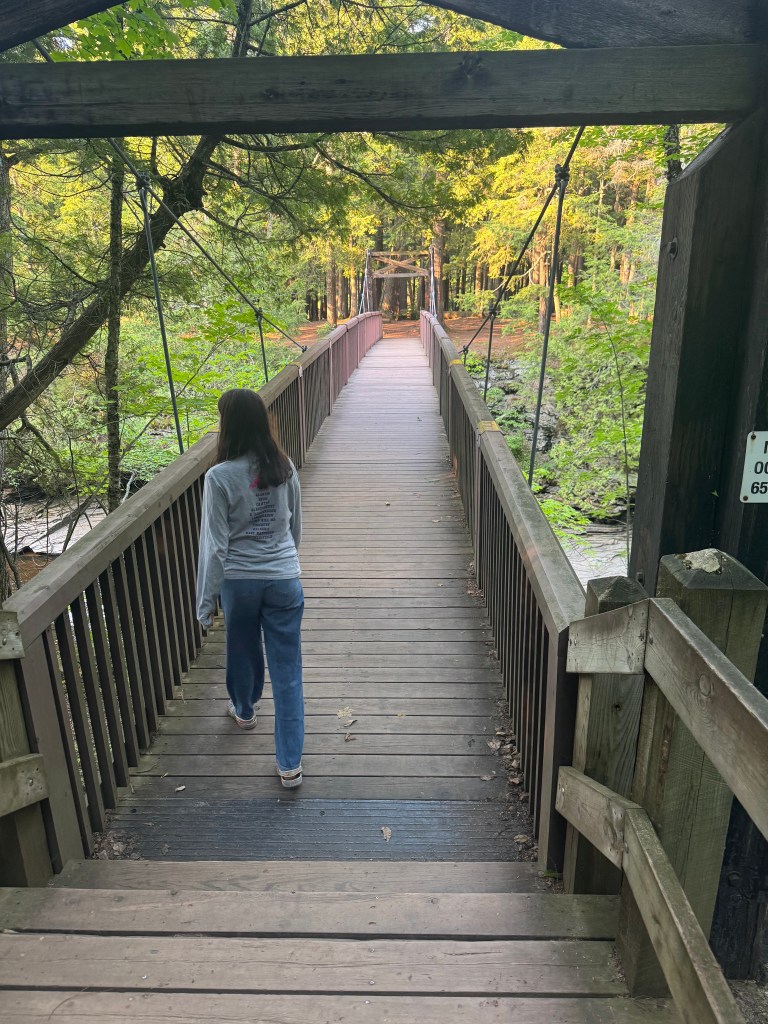
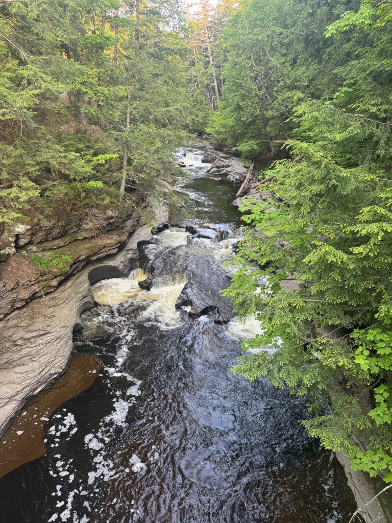
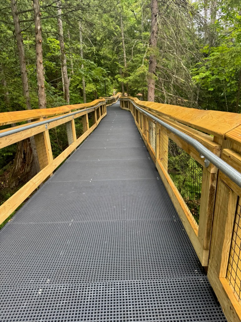
After dinner, Rob, Marlie, and I suited up in long pants and sleeves and headed to the waterfall trails near our campground. Alyssa opted to sit this one out (I mean, who could blame her?). Miraculously, the trail we chose was largely bug-free. Thank goodness, since we were definitely in the mood to move after our long drive. We climbed down a wooden walkway to a suspension bridge that spanned the Presque Isle River, giving us views of some smaller waterfalls. The water in this area is low, offering us a good look at the “potholes” in the river. The circular rock formations are created by sand swirling in the water, eroding the rock.

Heading down toward the rocky beach, we quickly discovered we had pressed our luck with the flies. Suddenly swarmed, we ended our hike and hightailed it back over the suspension bridge to the bug-free zone. Nope. Nope. Nope. Back to the camper. We’ll try again tomorrow.

The One Where We Jumped Off a Cliff

One of my favorite traditions on a road trip is to sneak off early in the morning with Rob before everyone else in the camper wakes up and try a local coffee shop. Well, we have been sleeping in a bit more than usual, which shouldn’t be surprising since we’ve been staying up a bit up later than usual. It’s really hard to go to bed when it doesn’t get dark until 10:30 PM!

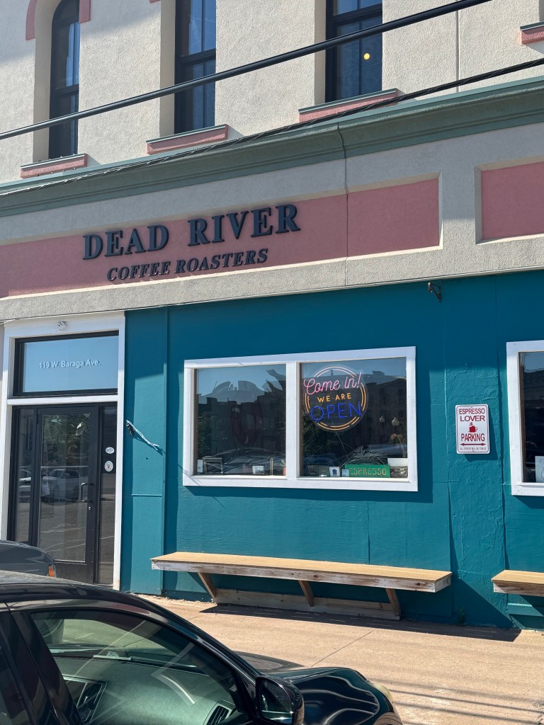
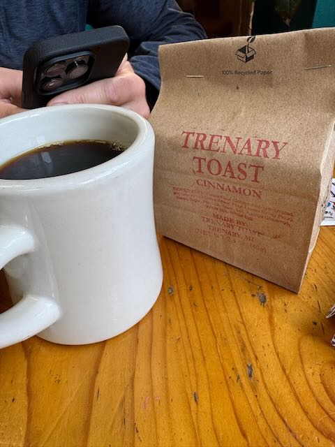
Rob and I slipped out of the camper and jumped in the Mini with the sunroof open and headed into Marquette, the UP’s largest city and home to Northern Michigan University. It’s absolutely charming with its artsy vibe and beautiful old buildings. We found ourselves at Dead River Coffee Company where we sampled the local brew and shared a piece of homemade coffee cake and Trenary Toast. Trenary Toast is a UP tradition. It is a twice-baked sweet bread coated in cinnamon and sugar that has a long shelf-life. You should not eat Trenary Toast dry. It’s meant to soak in milk or coffee – yum! The texture very dry and crumbly, making it distinct from a biscotti.

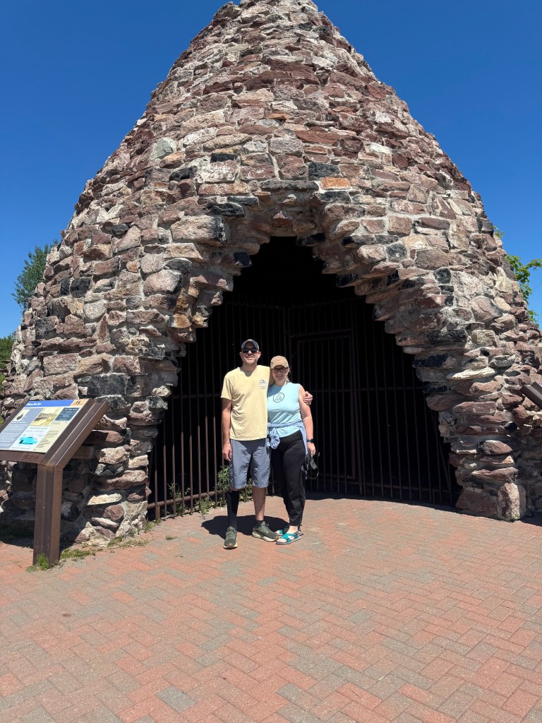
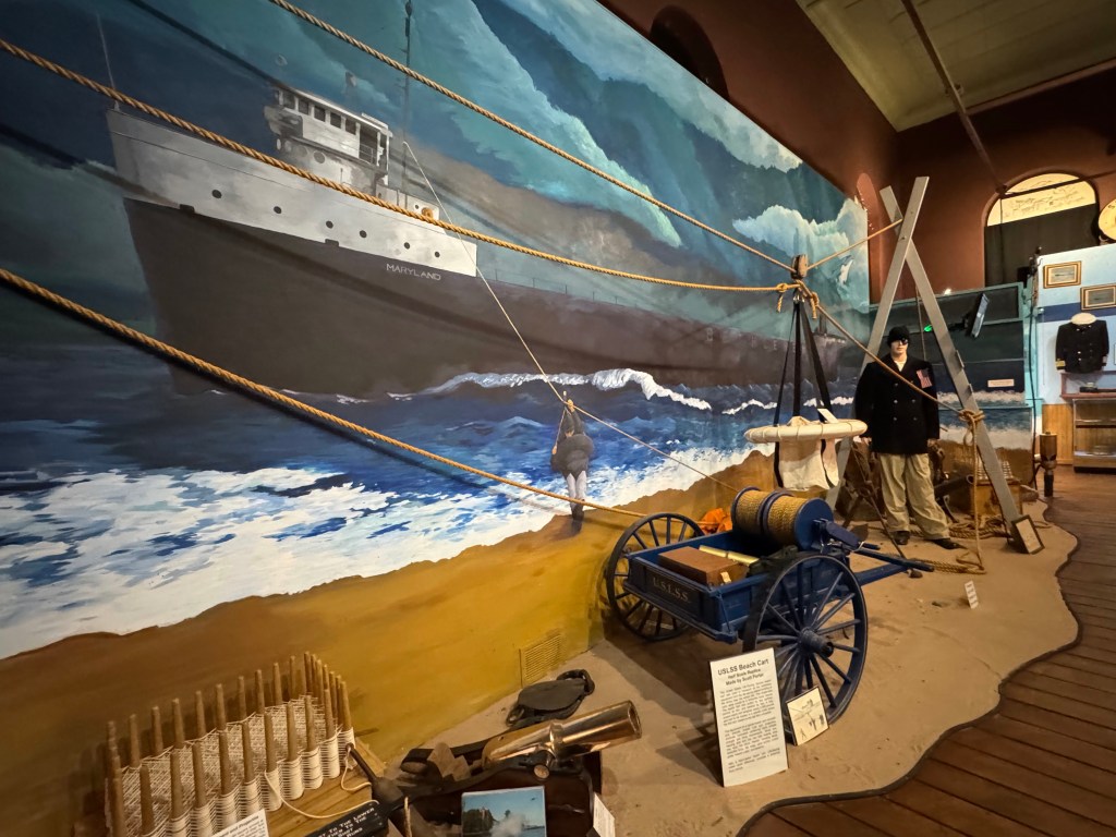
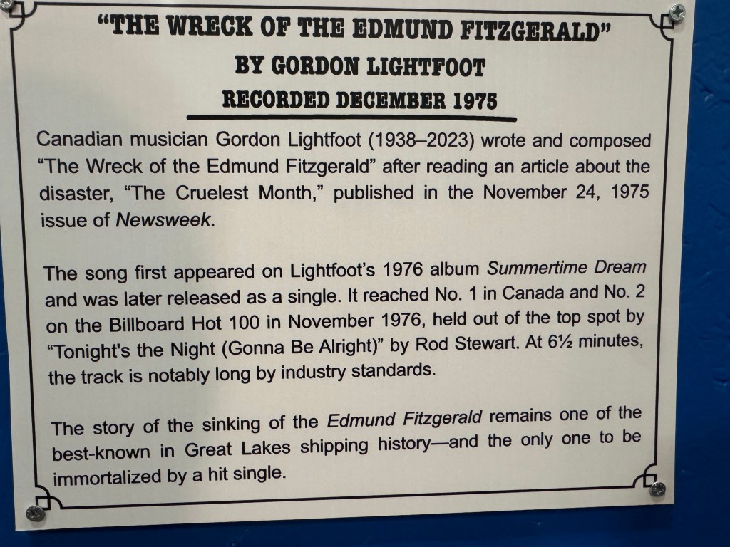
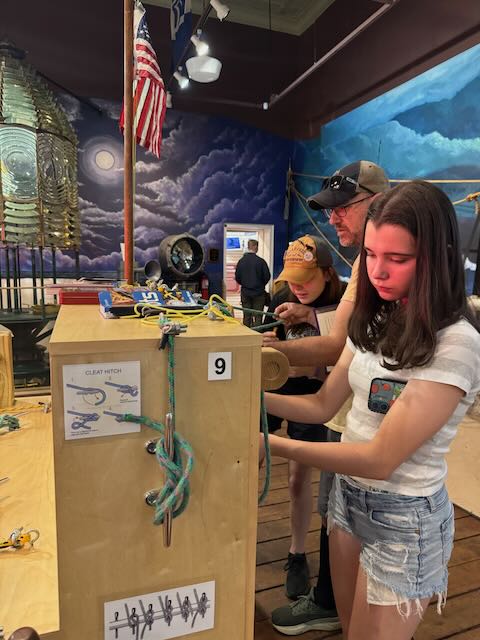
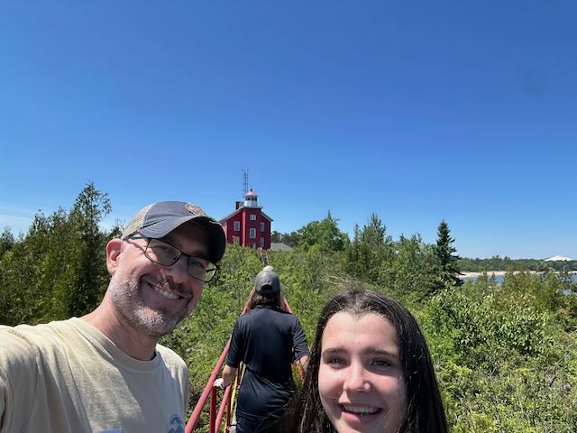
Determined to find a lighthouse to climb, we scooped up the kids at the camper and after a quick side quest to visit a beehive iron furnace (or kiln) on one of the scenic pull-offs next to the lake, headed back into Marquette to the Maritime Museum and Marquette Harbor Lighthouse. Fresh off our visit to the Shipwreck Museum, we hoped for a self-guided tour and a quick trip up to the top of the lighthouse before venturing out to explore more of Marquette. It turns out, they don’t let you walk around a functioning lighthouse alone, which is probably very wide because people just aren’t careful. That said, we agreed to a guided tour. After learning all about trying knots and the United Life-Saving Service as well as some more Great Lakes shipwrecks (and also more about the Edmund Fitzgerald – cue the song), we headed to the front of the museum to meet our tour guide.

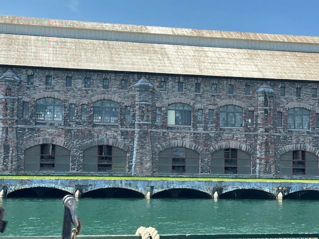
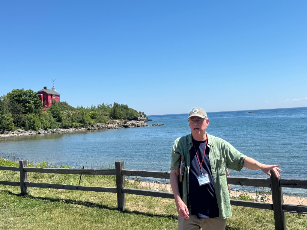
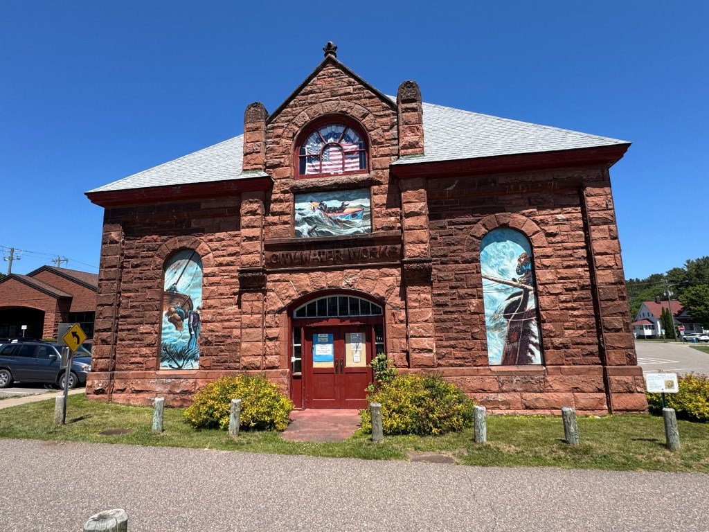
Roy is a volunteer docent at the Marquette Maritime Museum. He is a native of the area and is deeply knowledgeable about maritime culture, lighthouse keeping, and everything Marquette. He started the tour by talking about the museum building, which used to be the city’s pumphouse until 1982. The red stone is sandstone and the upper parts of the building have some sandstone with white striations – this is called “bacon” sandstone. He also showed us the Coast Guard station responsible for this area of the Great Lakes. The station has two resident dogs with petty officer status: Thor and Loki.

Roy, most knowledgeable tour guide in the area of lighthouses, lightkeeping, and all things Marquette maritime

As we moved across the grounds, Roy shared story after story about lighthouse keepers, Life-Savers, Captains, and wove in a few ghost stories here and there. The lighthouse stands less than a quarter-mile from the museum. After 50-minutes, we still hadn’t made it there.

When we finally reached the 45-steps up to the lighthouse, Roy guided us through the building, pointing out various maps, photos, and artifacts from the days when a lightkeeper resided in the lighthouse with his family. Now, lighthouses are modernized and monitored remotely. Lighthouses like the Marquette Harbor Lighthouse still play an important role in maritime navigation. They serve as a backup to modern navigation systems as well as to recreational boaters, signaling shallow waters, rocky coasts, and guide ships into harbors. Each lighthouse has its own unique light pattern called a characteristic, which helps navigation at night. A rotating fresnel lens and a 1,000-watt or LED bulb make these unique characteristics.

By the time we thanked Roy for his valuable information and left the lighthouse, we were all famished. We headed to the Lakeshore Grill, a food truck parked outside Drifa Brewing Company where we scarfed down smashburgers, fries, homemade rootbeer and frozen lemonades. This was a great way to break-up the day, eating al-fresco and enjoying the sunshine.

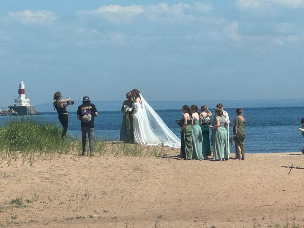
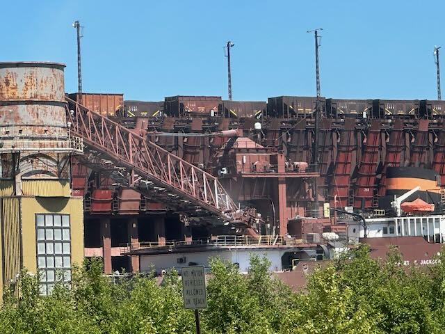
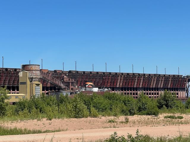
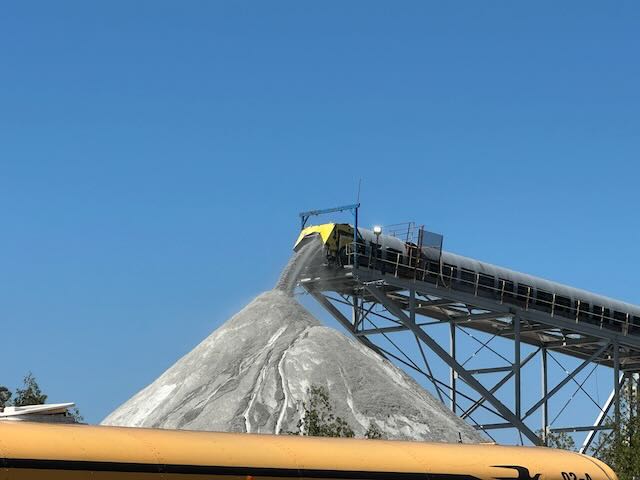
Most of our trips also include a little bit of adventure and this one is no exception! We made our way to Presque Island Park, without a doubt, the busiest place we have visited in the UP. We passed not fewer than three weddings, with the wedding party and guests taking photos in front of the breathtaking lake views. Scores of people with buckets and shovels scoured the beaches for Yooperlites – special rocks that wash ashore in the Great Lakes region and are rich in fluorescent sodalite that glows orange, yellow or pink under UV light. A fair number of people also pulled off the road at an ore dock to watch it load its cargo of taconite pellets (iron ore) onto the Herbert C. Jackson (sister ship to, you guess it, the Edmund Fitzgerald). This is the first time I have ever seen an ore dock. This is how it works: Railcars filled with goods move down the dock (1,000-2,000 feet) and fill storage bins on the dock. Moveable steel chutes are used to empty the storage bins into the freighter. Nearly this entire process is done using gravity, except for the heavy machinery that positions the chutes. You might think that the loading of a freighter with iron ore pellets would not be mesmerizing, but it can be. In fact, Rob had us stop twice.

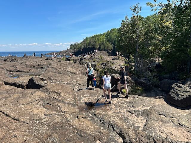
We parked the Mini at one of the beaches on Presque Isle and made our way out to the Black Rocks. I had it in my head that I wanted to jump off the rocks into Lake Superior, as many people do. All of us dressed with our bathing suits under our clothes and I packed some towels. As we made our way across the rocks, we saw a few dozen people at the edge of the rocks with more clapping and cheering down below. We watched several people take the plunge and then prepared ourselves for jumping. Rob volunteered as photographer after watching a few people jump. He wasn’t sure how he would enter the water and decided against risking re-injury to his ankle – solid decision, in my opinion.

Marlie and Alyssa went first, taking good, strong leaps off the ledge. When it was my turn, I took a deep breath, rocked a few times and jumped out before I could overthink it. The fall felt fast and before I knew it, I was under the water. – 54 degree water, to be exact. As soon as I surfaced, I swam through the crystal-clear lake to the edge of the rocks and climbed out onto land. Alyssa and Marlie opted to jump again, but I felt satisfied with my one good jump and watched from atop the rocks.

Alyssa’s jump
Marlie’s jump
Jenn’s jump

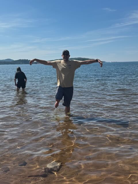
Before leaving the Presque Isle Park area, Rob wanted to cool his leg – it gets overheated in the compression sock – in Lake Superior. We found a sandy beach and walked down the water’s edge where he could wade into the cool water. I happily sat in the sun on a rock and read my book while the girls looked for Yooperlites, digging through the sand.

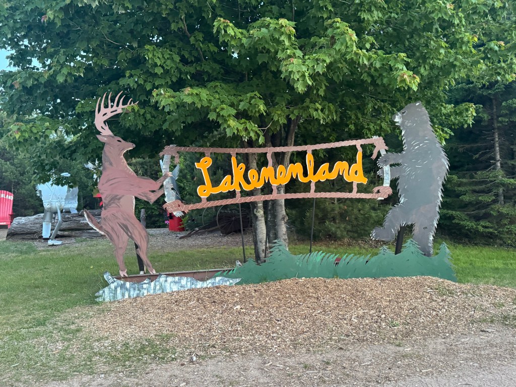
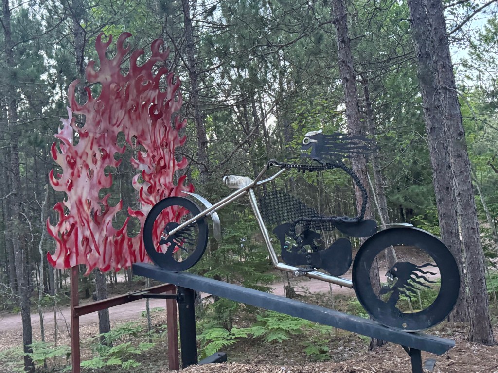
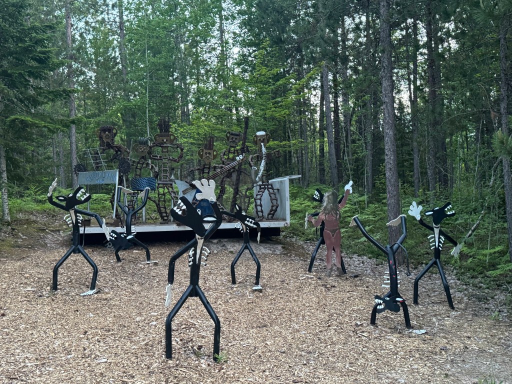
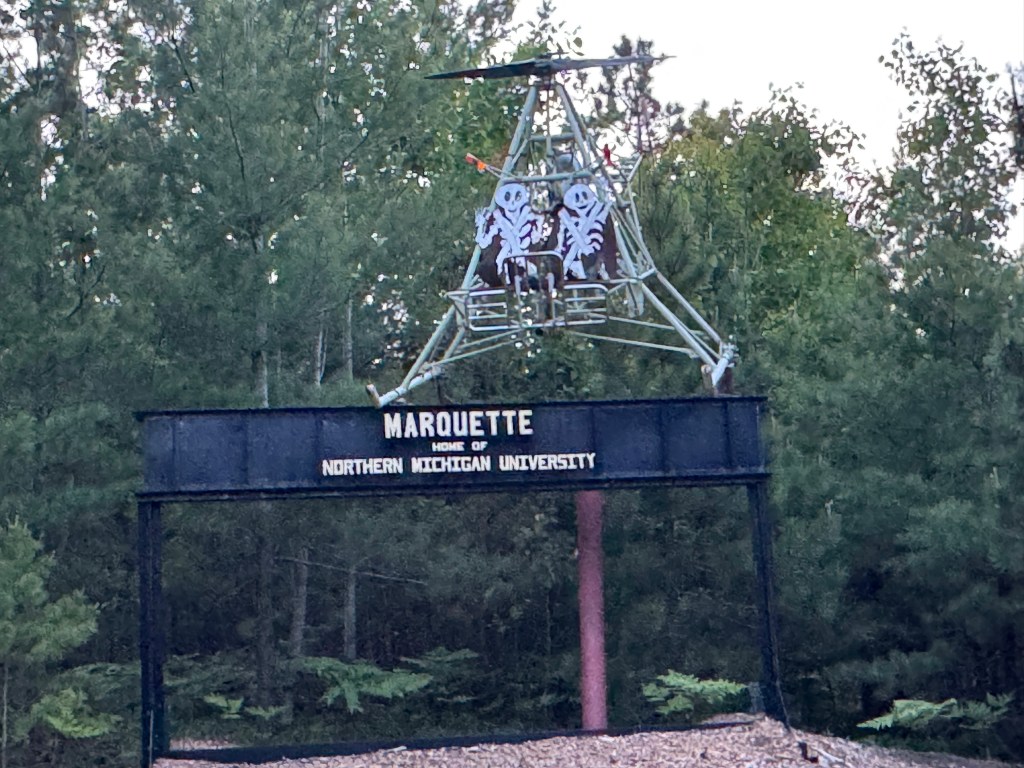
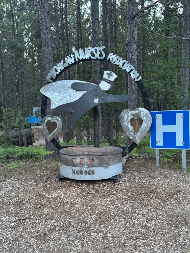
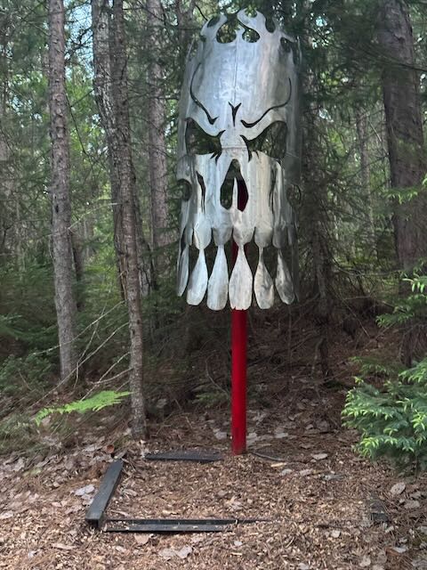
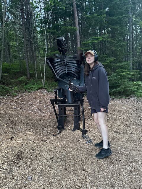
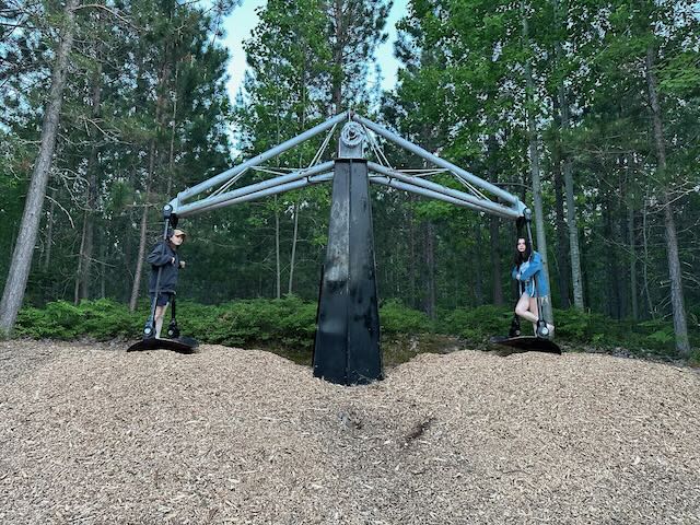
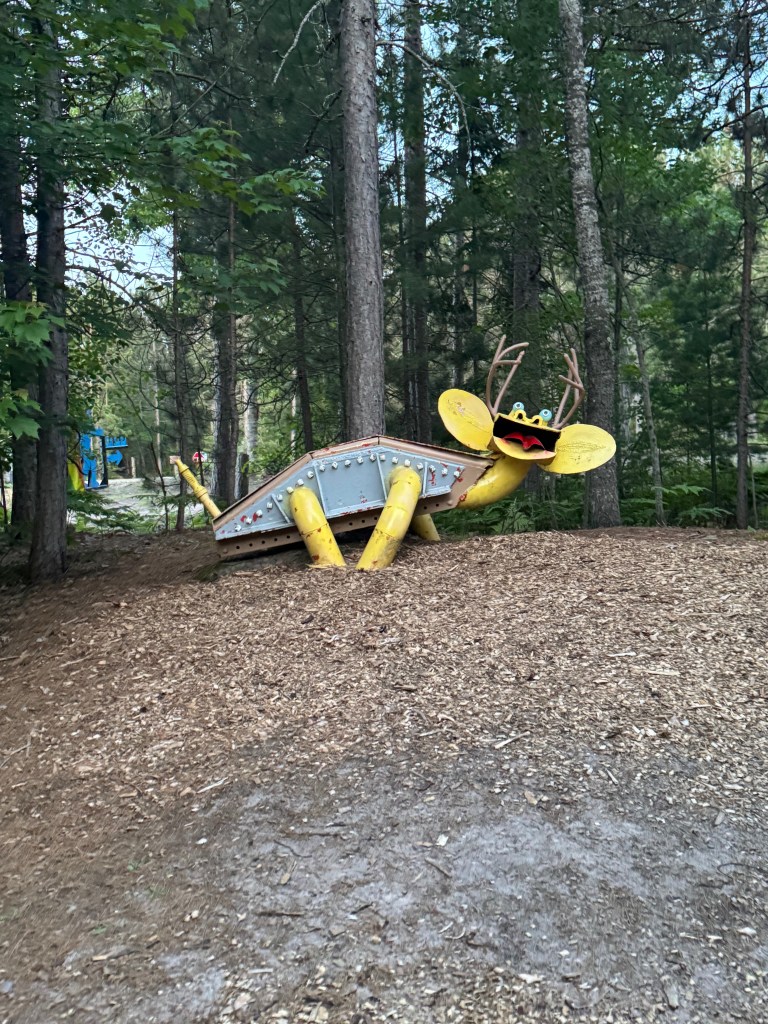
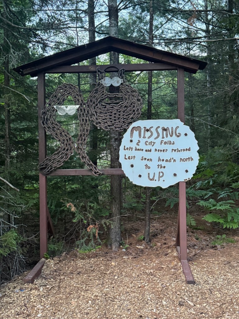
To top off the day, after showers and dinner back at the campground, we drove seven miles down the road to Lakenenland, a scrap metal sculpture park created over the past 25 years by iron worker, Tom Lakenen. The park has over 100 sculptures that range from whimsical to political and is free to the public. You can walk or drive the trails in the warmer months and get around by snowmobile in the colder months.

We ended up at Lakenland at around 9:30 PM – and it was still light out. We took one of sculpture loops by foot, but the mosquitos got the better of us, so we hopped in the Mini and drove around the other loops. Not only is the size of the park impressive, but the variety of the sculptures and the other amenities the park offers, such as concert stages, a pavilion, a playground, and at-shirt shack. We like the weird and wonderful roadside attractions and this one did not disappoint!

We leave tomorrow for our most rustic campground of the trip – the Presque Isle Rustic Campsites, located in the Porcupine Mountains State Park. No generators allowed, so we re crossing our fingers for sun to power our solar panels that recharge our batteries!
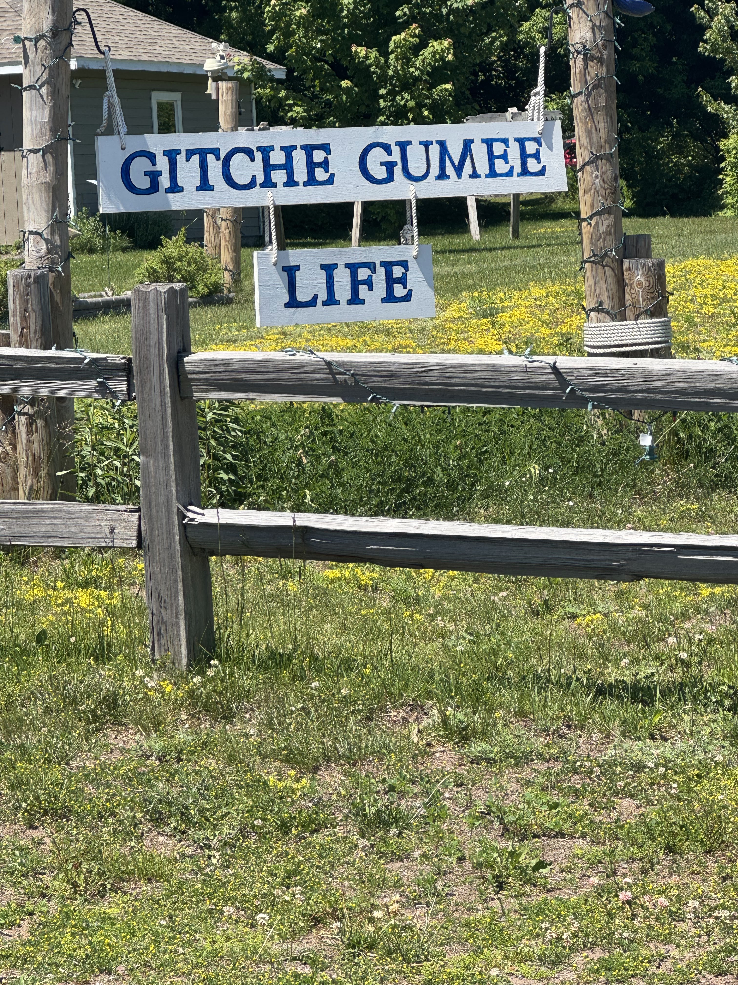
NOTE: Over the past few days, we have learned a bit about this region and its relationship to a famous American poem. In 1855, Henry Wadsworth Longfellow wrote his poem, Song of Hiawatha, about a fictional Ojibwe warrior’s life and love. The poem begins, “By the shore of Gitche Gumee, By the shining Big-Sea-Water”, the Gitche Gumee is the Ojibwe name for Lake Superior. Many cottages, stores, and lodging in the area bear the name. “Gitche Gumee.” The Tahquamenon River, which we visited earlier in our trip, is actually the setting for the poem.

One of the many references to the Ojibwe name for Lake Superior – Gitche Gumee.

The One with the Famous Song

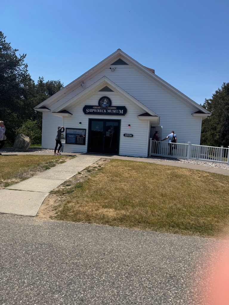
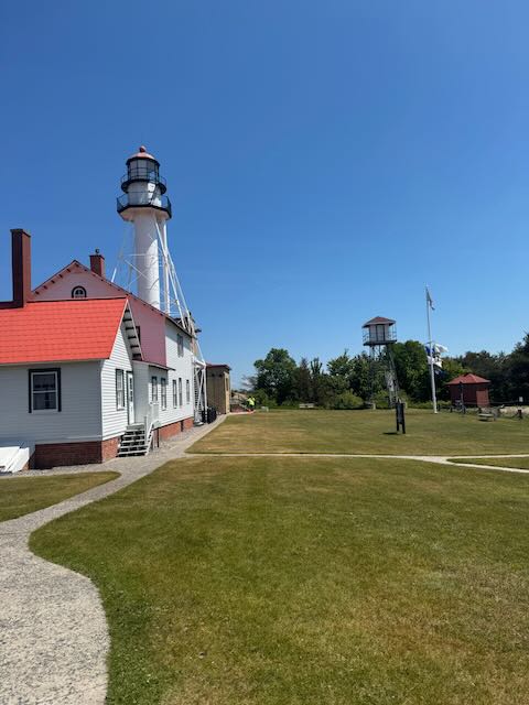
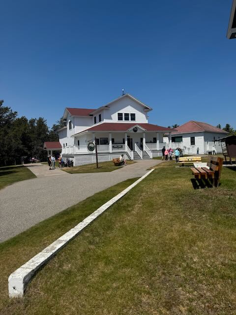
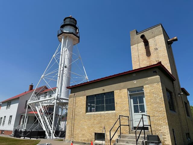
If you know me, you know that I am an educator through and through. Wherever I am I look for an opportunity to learn something new. Vacation is no exception. I give my parents credit for this quirk. (You may remember our fun-filled trip through colonial Williamsburg back on 2024.). And so, we departed Rivermouth Campground and headed to the Great Lakes Shipwreck Museum at Whitefish Point in Paradise, MI.

Since the Great Lakes are such vast bodies of water that function like inland seas, they fall under the term “maritime.” The lakes have rolling waves, strong currents, and support a massive shipping industry that is directly connected to The U.S.’s economy and culture. The Great Lakes have their own weather systems and, together with the St. Lawrence Seaway, act as an international marine highway connecting major American and Canadian ports to the Atlantic Ocean. In fact, massive freighters carrying millions of tons of raw materials such as iron ore, coal, and limestone cross the lakes annually. By the time European fur traders had started using the Great Lakes for trading, Native Americans had been traversing the enormous bodies of water for 10,000 years. Shipping grew exponentially by the 1800s, increasing traffic on the Great Lakes.

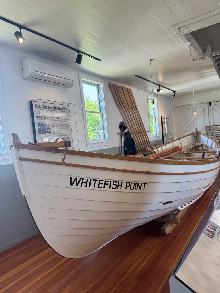
That combination of increased shipping and sea-like characteristics meant shipwrecks. There are an estimated 6,000-10,000 shipwrecks scattered over the five Great Lakes. The Great Lakes Shipwreck Museum tells the story of commerce across the Great Lakes region and boasts artifacts salvaged from wreck sites as well as photos and other memorabilia that help visitors understand the lives of the sailors, life-savers, and lightkeepers who dedicated their lives to their professions. The volunteers who work at the Shipwreck Museum love their jobs. They are keepers of history and love to talk about the rich legacy and traditions, and most will sneak in a good ghost story. It is my understanding that every lighthouse is haunted. This is probably because being a lighthouse keeper in “days of yore” would induce madness in a person due to the monotony and the solitude.

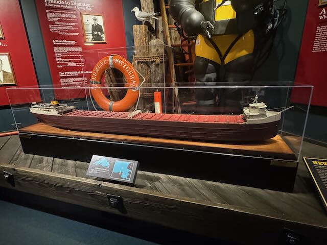
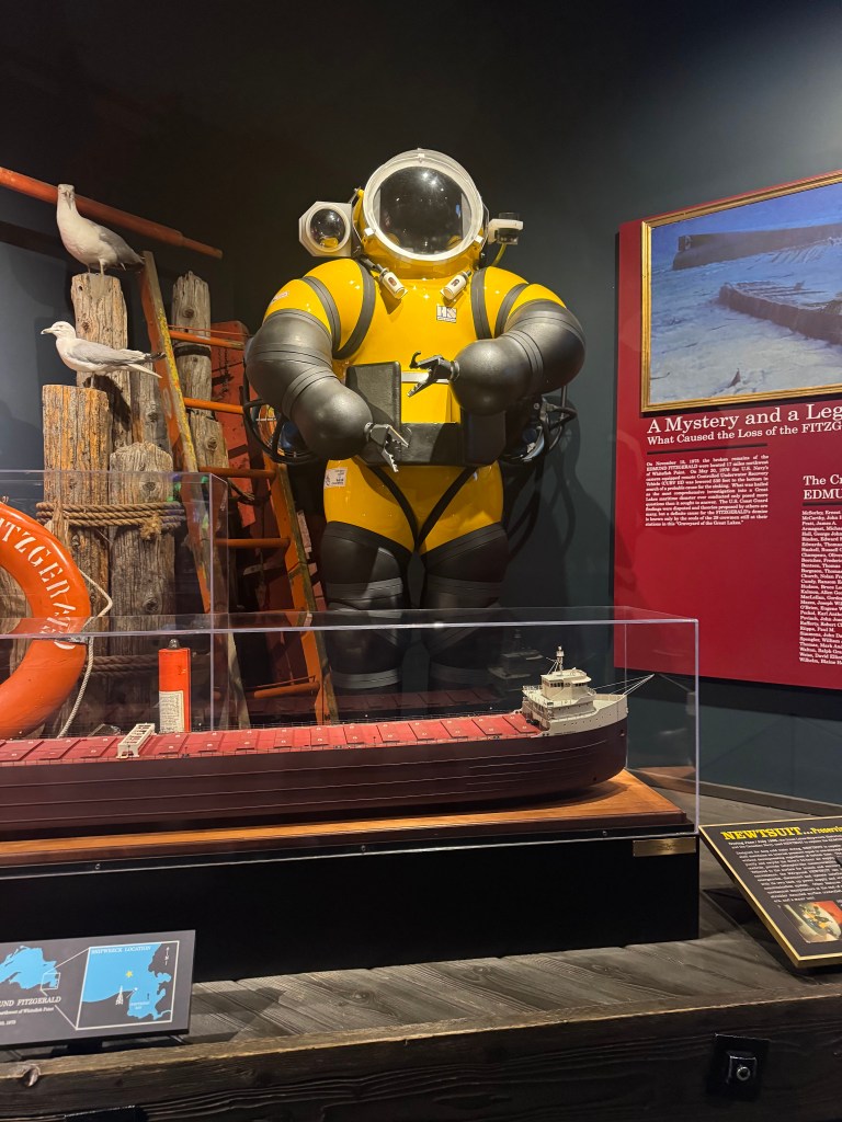
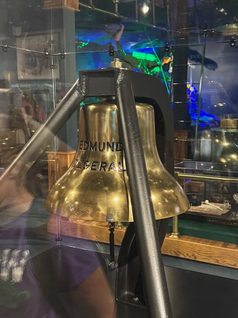
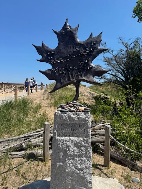
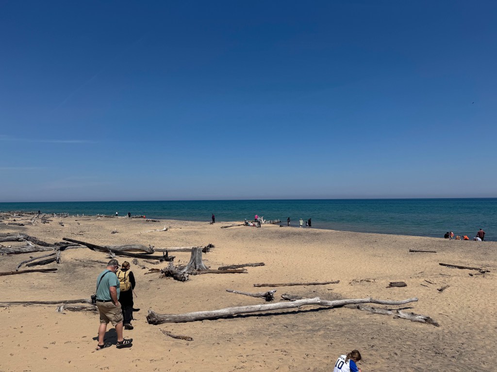
Perhaps the most famous wreck is that of the SS Edmund Fitzgerald which sank mysteriously in Lake Superior on November 10, 1975 during a severe storm. All 29 crew members perished and the sinking is considered the largest maritime disaster in Great Lakes History. What makes it especially heartbreaking is how recent this shipwreck occurred and just how suddenly the ship went down. The wreck now lies 530 feet below the surface in two pieces in Canadian waters, about 17 miles off Whitefish Point, MI. In 1995 the bell from the Edmund Fitzgerald was raised from the wreck and replaced with a bell engraved with the names of every crew member. Canadian singer, Gordon Lightfoot, recorded a ballad recounting the wreck, Wreck of the Edmund Fitzgerald. This song is pumped into every building throughout the museum. If you walked into the museum not knowing the words, you would definitely be humming it on the way out… and throughout the rest of the day… and for the next several days.

Model of the SS Edmund Fitzgerald

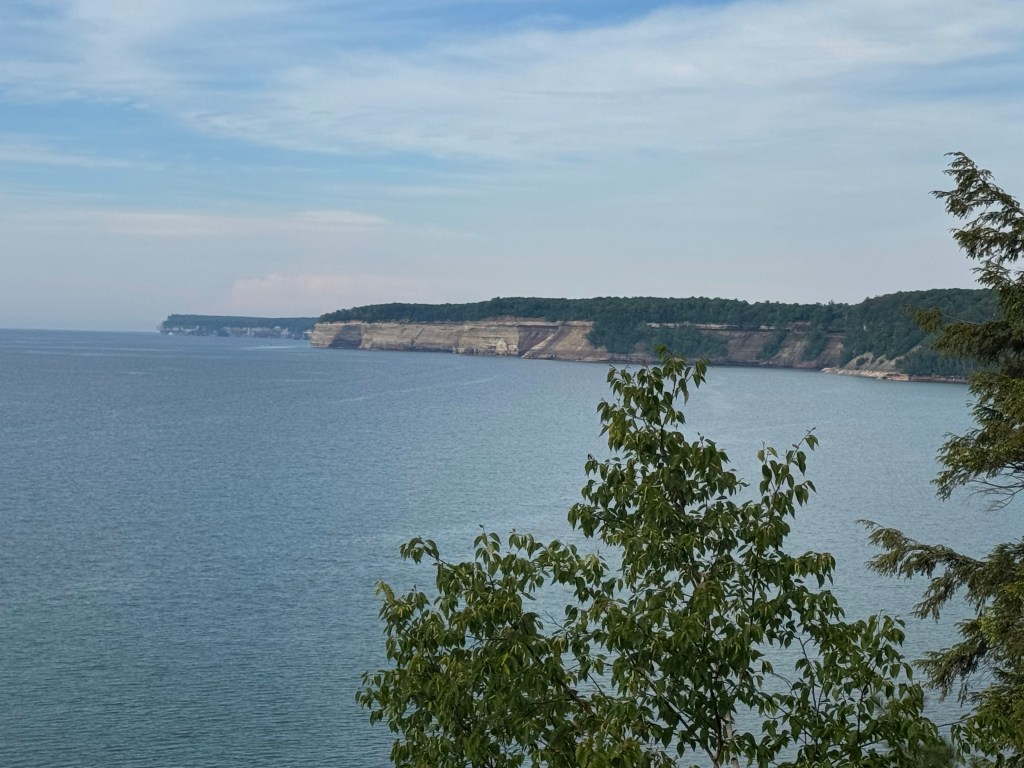
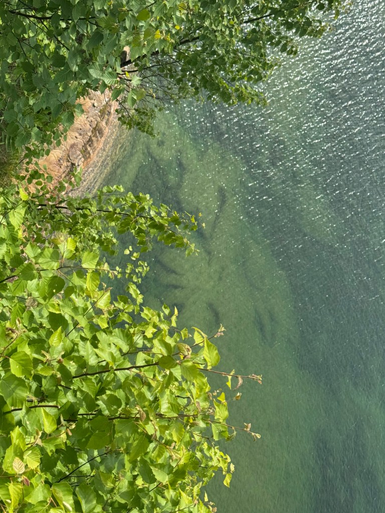
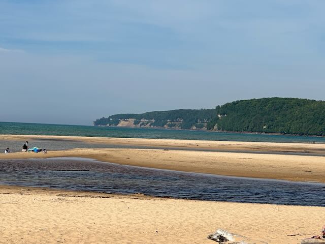
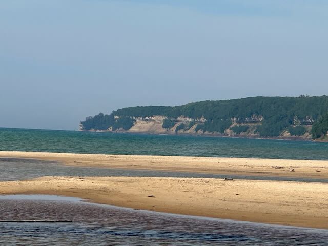
After a quick camper lunch, we headed to Musining, where we parked Kevin in the Pictured Rocks Visitor center, detached Elizabeth and scooted out to explore the National Lakeshore. We needed a National Park Visitors Pass to access the various trailheads and parking areas along the coast. We chose a few easy trails with stunning views of the sandstone cliffs, sandy and rocky beaches, and crystal clear water, as well as forests, waterfalls and marshes.

The Pictured Rocks run about 15 miles along the lakeshore. You can see them via observation platforms, boat tours or kayaks. We opted to drive between locations so that we could experience a little bit of everything this area had to offer.

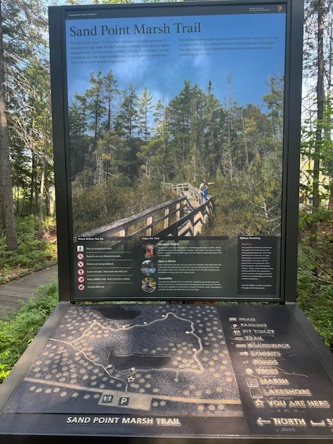
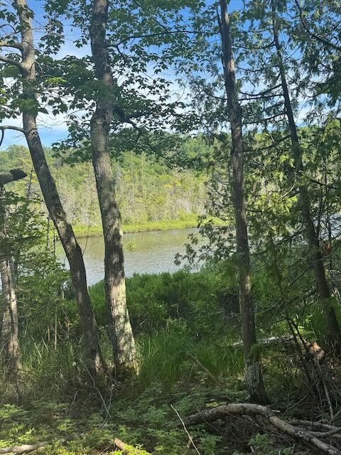
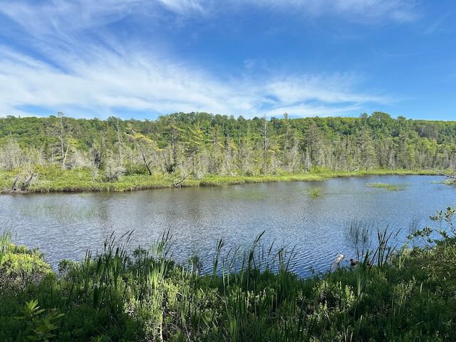
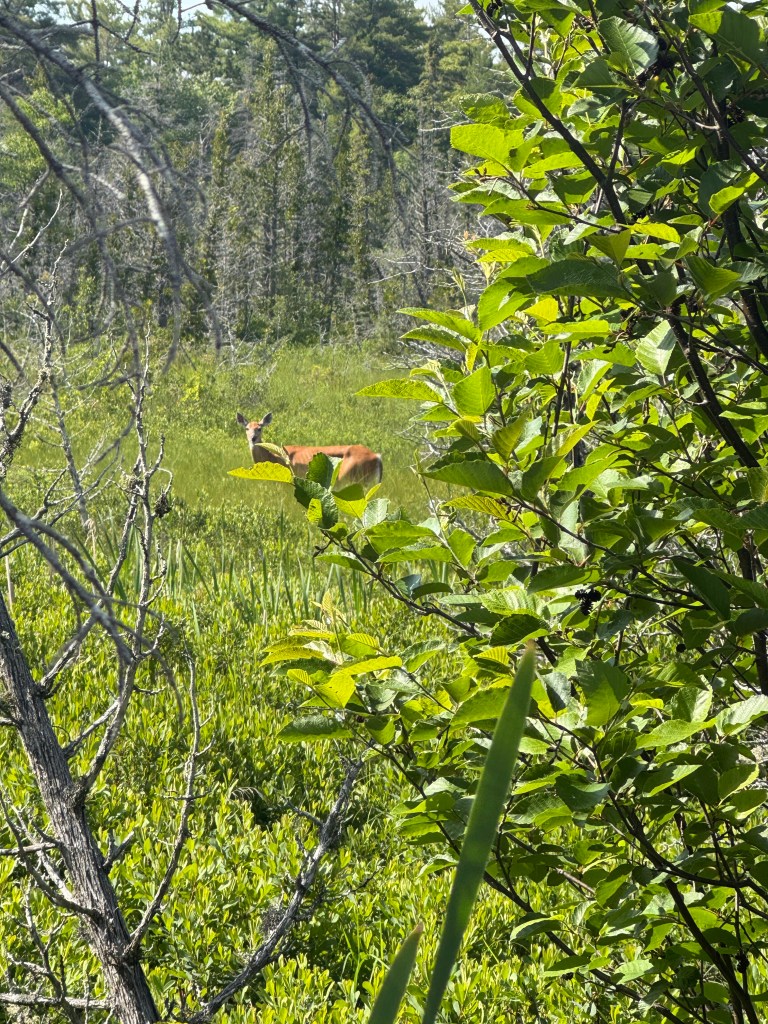
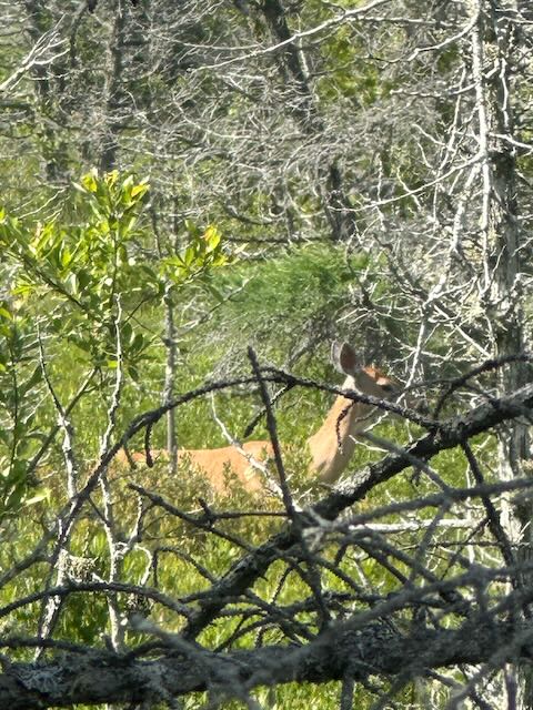
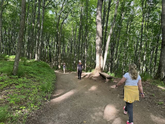
The weather on the UP has been simply incredible (except for the relentless mosquitos at dusk), warm and sunny during the day, with temperatures around 70 degrees and a light breeze. This was perfect for our marsh walk. A half-mile boardwalk wound in and out of a marsh and forest where we spotted a variety of birds and even a white-tailed deer. The quiet here is astounding. You can hear every splash, flap, and chirp. We didn’t see any other people during this leg of our trip.

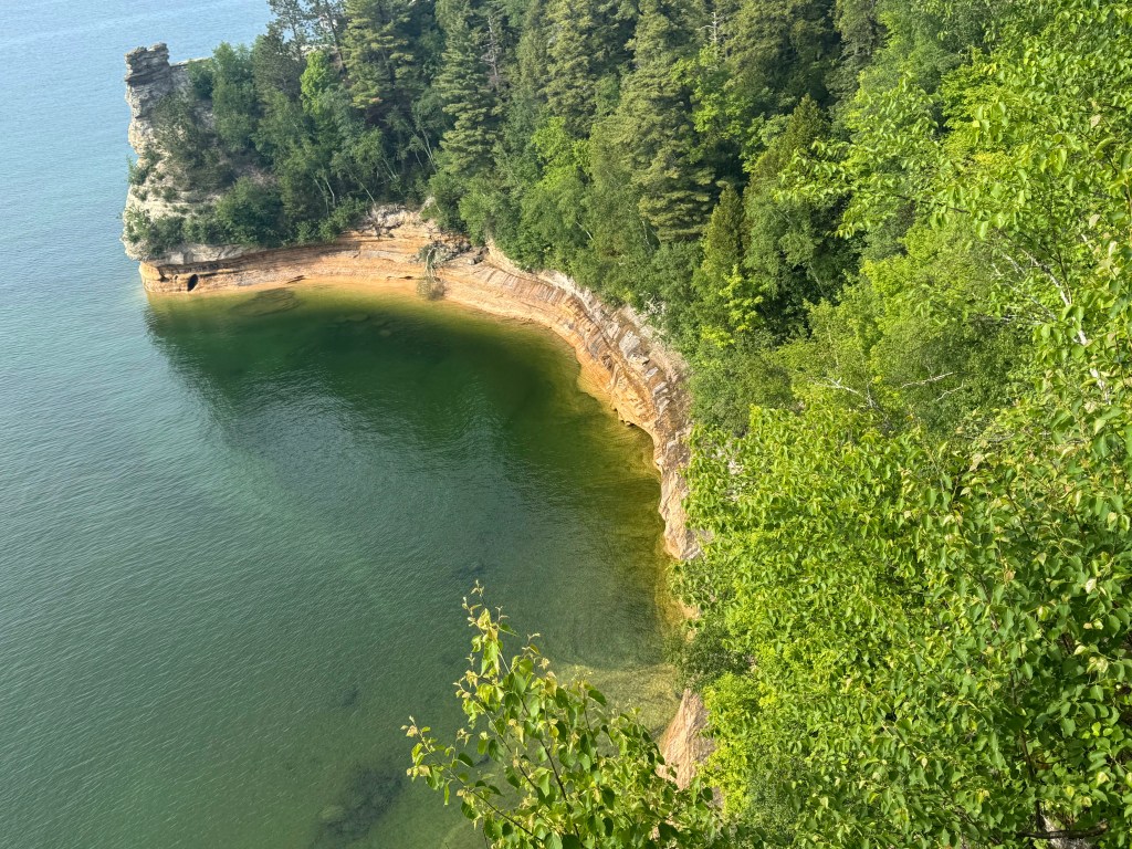
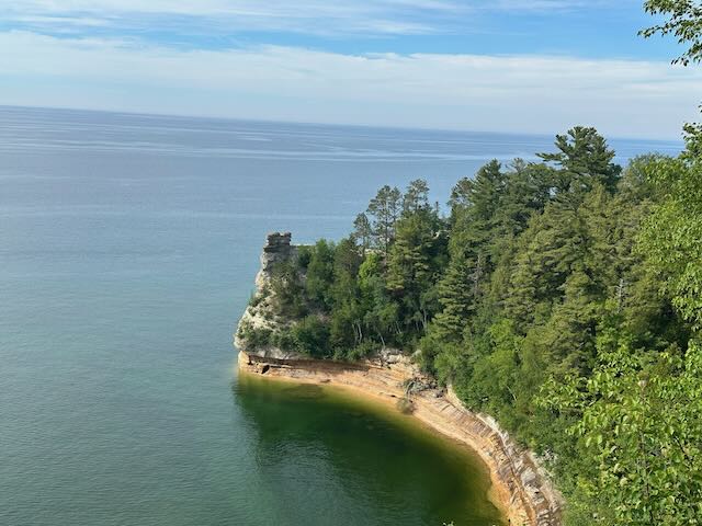
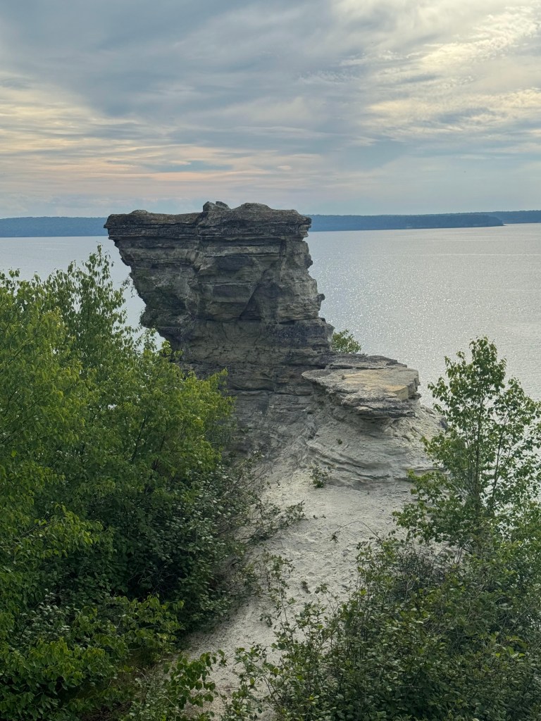
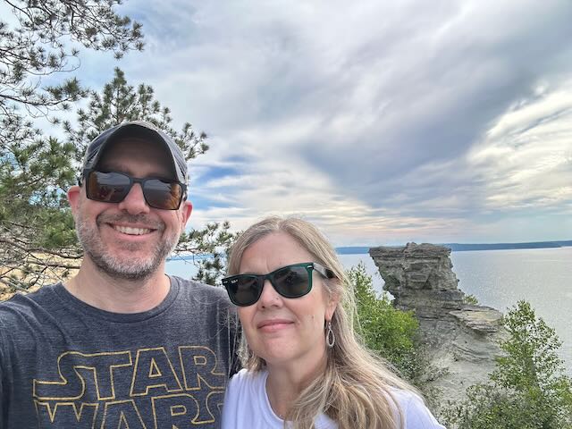
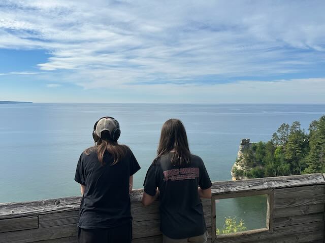
Miners Castle was next on our list. We took a short path down to the observation platform and looked out over massive sandstone cliffs and the unique rock formation known as Miners Castle. Erosion is constantly changing the face of the cliffs. In fact, the “castle” had two turrets that collapsed about 20 years ago, changing the look of this iconic formation. Rob got a little queasy looking over the rail of the deck – to be fair, the cliffs are steep and at the bottom is a giant pile of rocks. Looking out at the water, you might think you were somewhere tropical by the jewel-toned blues and greens. But make no mistake, Lake Superior is not tropical. With an average temperature of 40 degrees, it is the coldest of the Great Lakes.

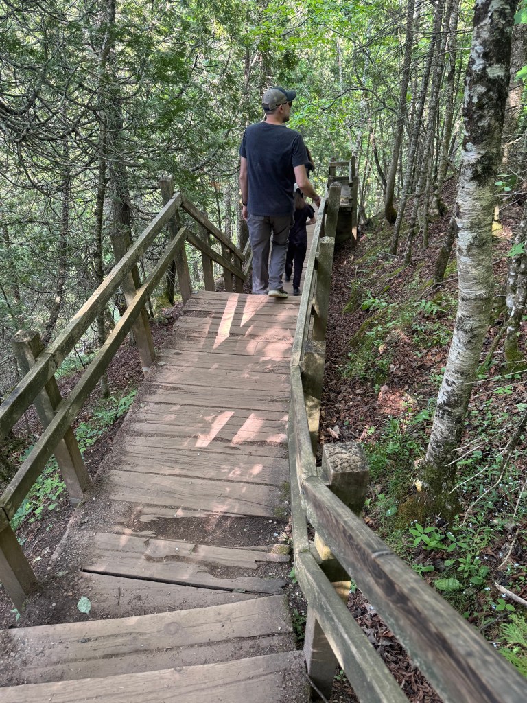
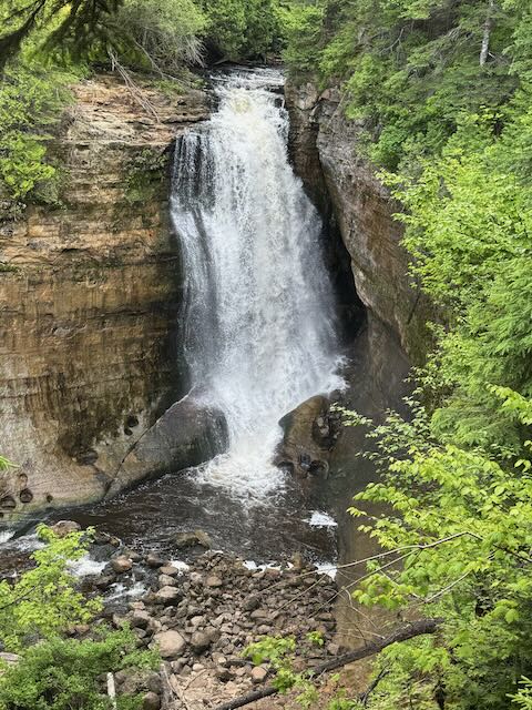
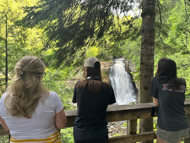
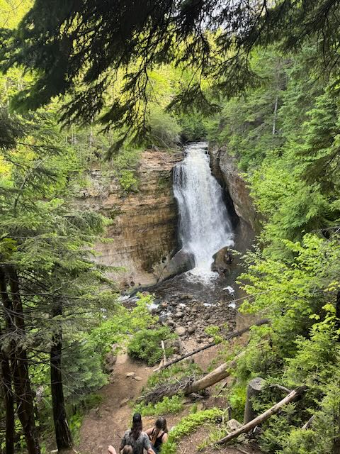
Our last stop for the day was Miners Falls. We followed a rugged path through the woods, navigating roots and rocks over about a mile. Sixty-four wooden steps lead to the lower viewing platform where you can see the falls, which drop over 50 feet. Beautiful. Even though there were more people on this excursion, it still did not feel crowded. That the UP has so much natural beauty, but doesn’t feels overrun with tourists is why we are slowly falling in love with this place.

By the time we reached Chocolay River RV & Campgrounds in Marquette, it was past 9:00 PM, but still light outside. Not just a little light – the sun had still not set. This campground is made for people who will spend very little time at the campground (perfect for us). It’s located next to the Northern Michigan University Golf Course, in a residential neighborhood. There are approximately 40 sites with picnic tables, fire pits, and full hookups (yay for long, hot showers!) lined up in three neat rows. A new section of at least 40 more sites is being prepared. We think this is a year-round campground because there are so many snowmobile trails running close by.

Tomorrow we explore Marquette and just might take a dip in Lake Superior. But for now, I’m putting on my sleep mask and calling it a night!
The One We Weren’t Sure We Were Taking

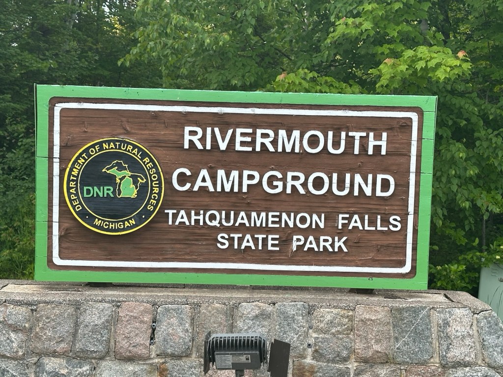
Hello, Travel Fans! I’m writing this from Kevin’s dining table while looking out over the Tahquamenon River at a stunning sunset. Pinks and oranges paint the ripples on the water’s surface and it’s quiet. We are at Rivermouth Campground in Tahquamenon State Park in Michigan’s Upper Peninsula. You may remember we visited Michigan two years ago and got as far north as Mackinac Island before heading home. We didn’t exactly plan to be here, but, then again, so many things this year did not go as planned.
After our Glacier/Banff expedition last year, we knew we would be going for a little more low-key vacationing this year. We thought a week at the Cape or up in Lake George, but rounding the corner into March, Rob had a pretty ugly skiing accident where he ended up with a trimalleolar right ankle fracture. If you are not sure what that is, just know that you do not want one. After surgery to install three plates and 13 screws, and upwards of eight weeks of physical therapy, he has a less pronounced limp and is gaining back his muscle at a very rapid rate. (People our age don’t tend to heal so quickly.) By the time we were ready to plan a trip, places were booked, gas prices were up, the kids signed up for a clinics and camps among all the other summer plans and activities, plus I’m going to be back supervising summer school for pretty much all of July.

This brings us to one evening in the middle of May where we mapped out a week-long road trip across the Upper Peninsula for the last week in June – just before the high season out here. Honestly, this was the easiest trip we have ever planned. Every campground had availability and there is no shortage of things to do in the State and National Parks that make up the UP. Rob was up for the drive – after all, he couldn’t drive at all for about eight weeks, so he was eager to make up for lost time. Frankly, I was eager to let him. I’m all set with driving for a while. The low cost of the campgrounds balanced out the soaring prices at the pumps and passes to enter state and national parks are reasonable. It’s the fastest trip we’ve ever planned and required the least amount of brainpower, which, for me, is in very short supply the last month of the school year.

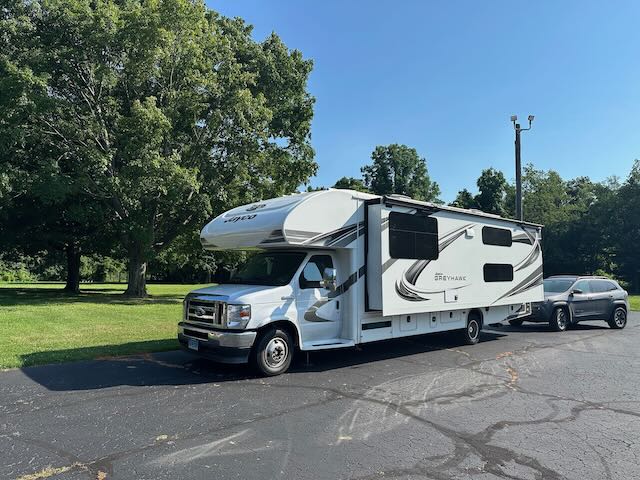
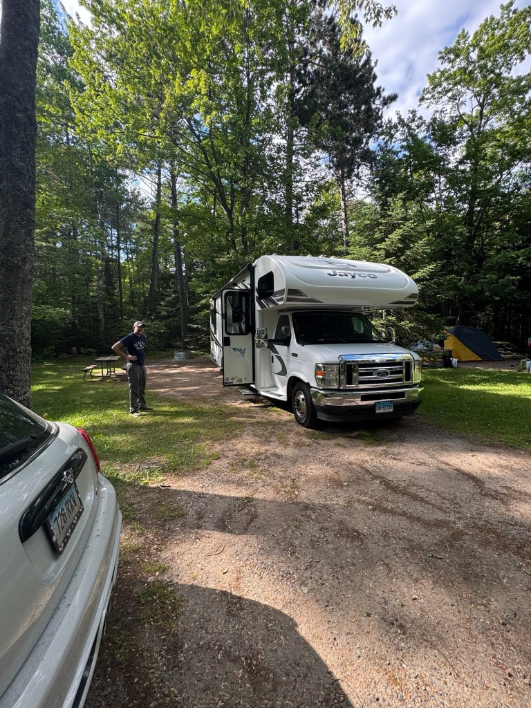
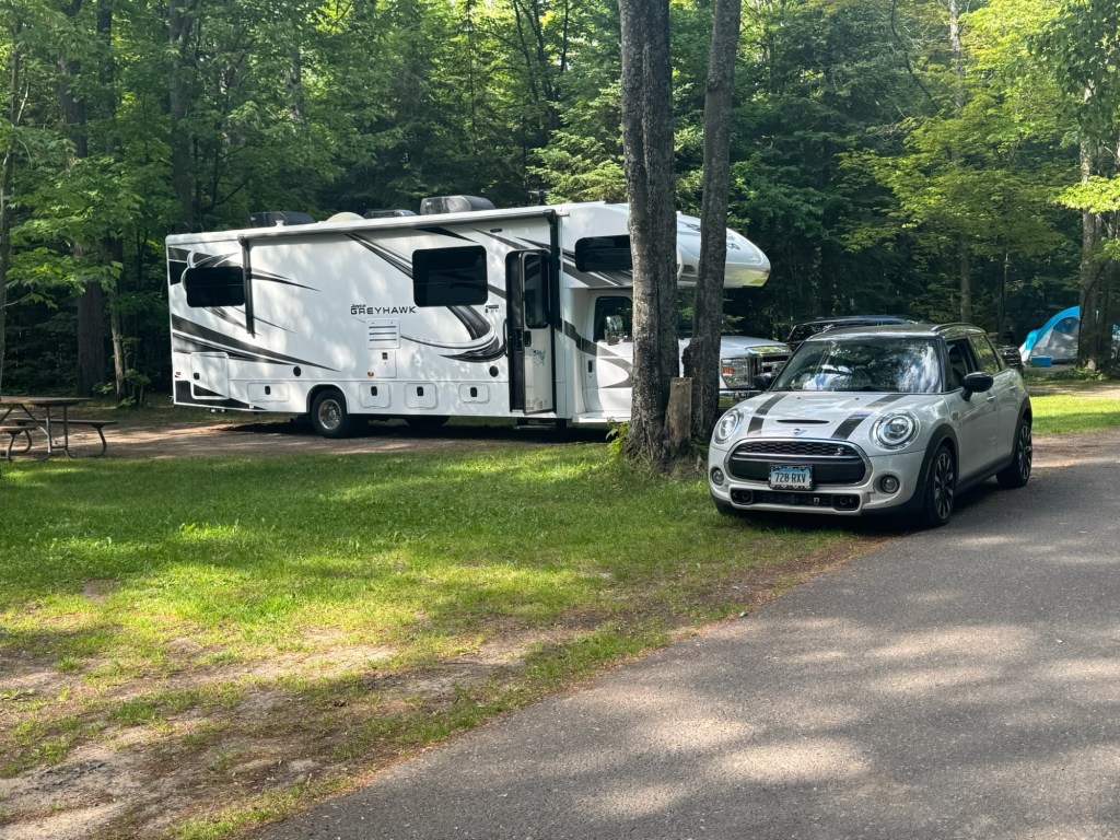
After school officially ended on June 22, I had one day to get the inside of the camper ready to go. Rob had given Kevin the once over and determined she was road ready. She had a thorough roof washing and bug removal, as well as an oil change and tire inflation. He also prepped the new toad… you may remember that the Jeep caught fire as we left Glacier last summer, and, alas, could not be salvaged. Enter Elizabeth, a six speed, 2021 Mini Cooper S. This will be her first long trip as our toad. While she isn’t rugged, she’s super fun to zip around in and tows beautifully. By 8:30 on Wednesday, June 24th, Rob, Alyssa, Marlie and I were headed out with our fingers crossed and just an hour and a half behind schedule… a last-minute trip to the walk-in for a field hockey injury will put a crimp in your packing timeline.

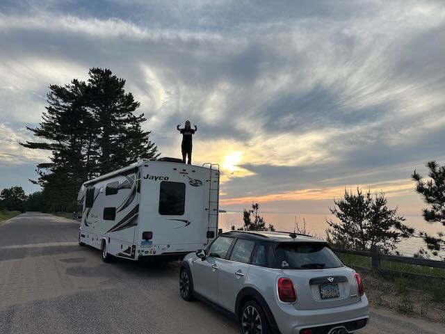
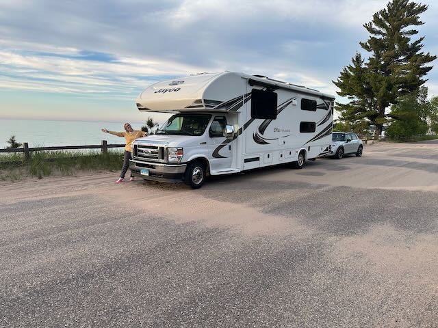
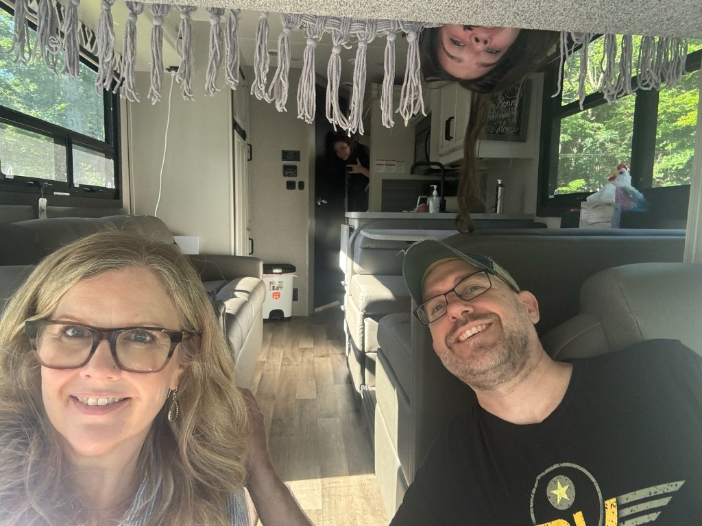
Our annual departure photo before our departure!
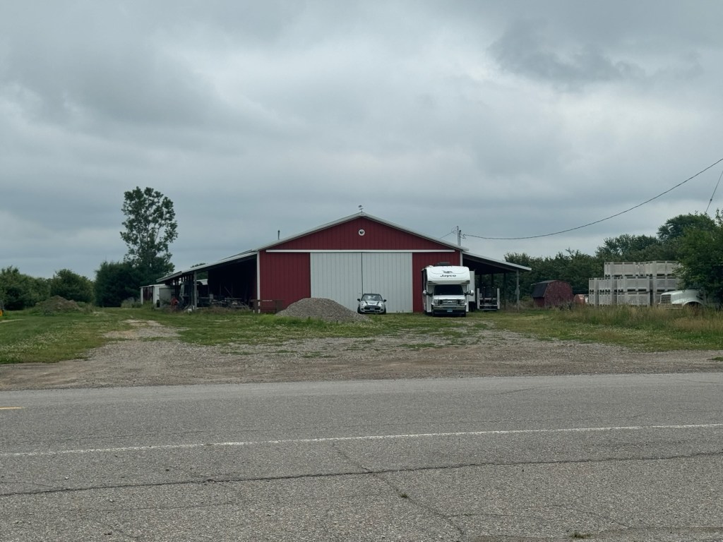
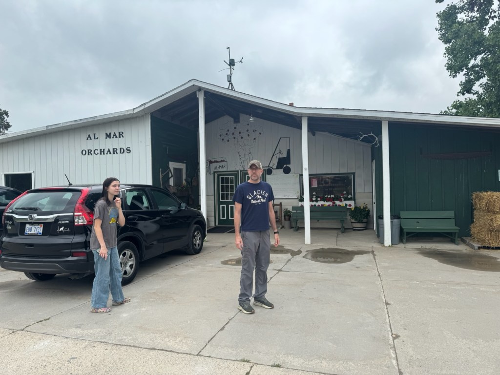
Rob chose a route that took us over the border into Canada via the Peace Bridge in Niagara, and re-entering the U.S. over the Blue Water Bridge from Sarnia, ON to Port Huron, MI. At the end of travel day one, we had made it all the way to Almar Orchards in Flushing, MI, about 15 minutes northwest of Flint. It was close to 10 PM when we parked Kevin in front of the big red barn, across the street from the orchard’s country store. The night was clear and cool and the air refreshing after 12 hours cooped up in the camper. Fireflies lit up the black sky like falling stars. The girls ventured out to explore the area around the barn while Rob and I prepped the camper for the night. It wasn’t long before we were both out like a light.

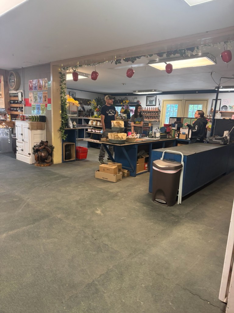
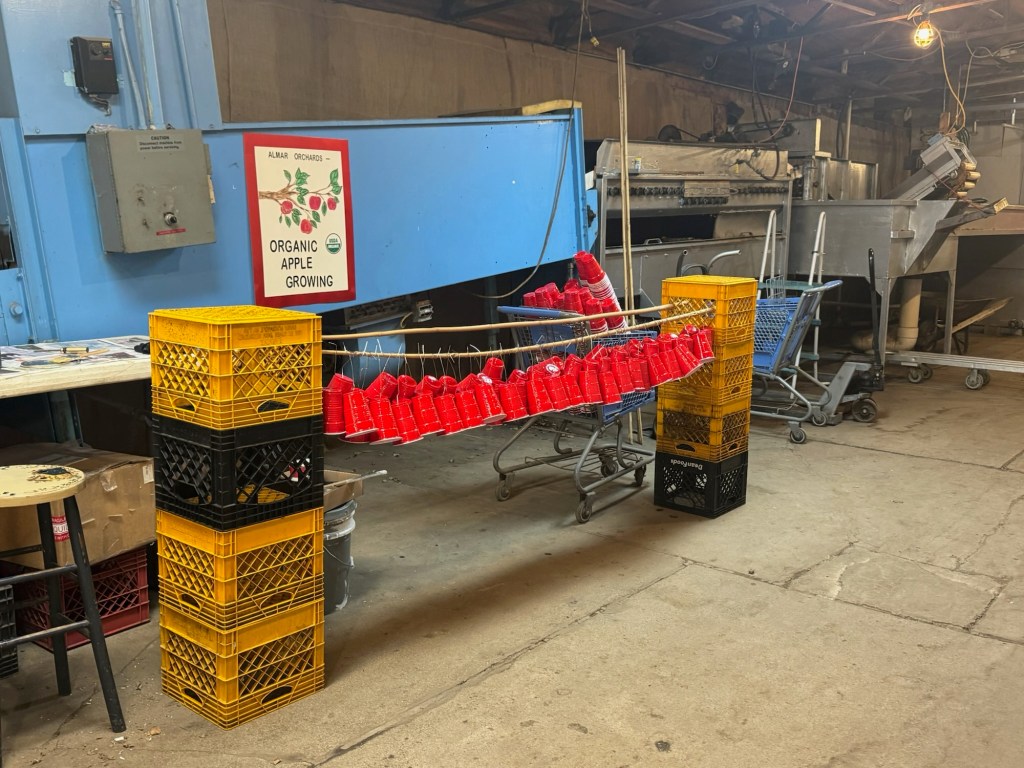
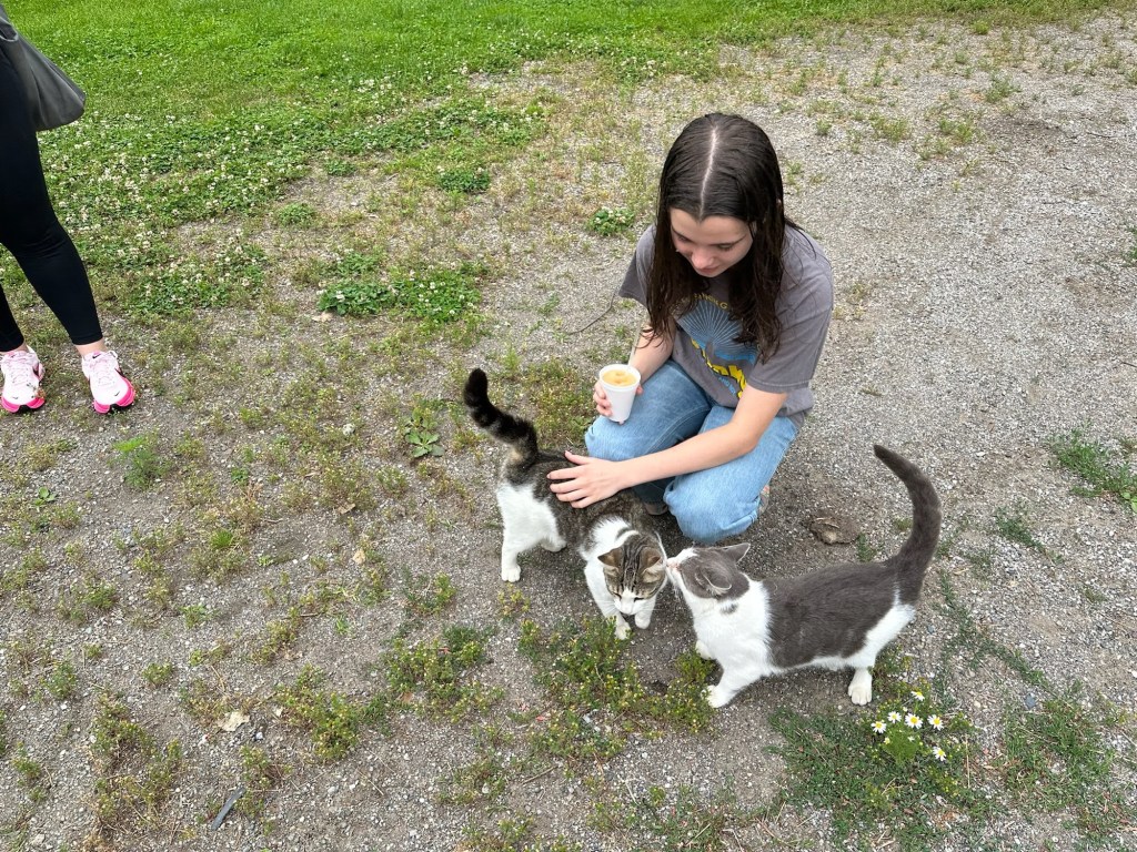
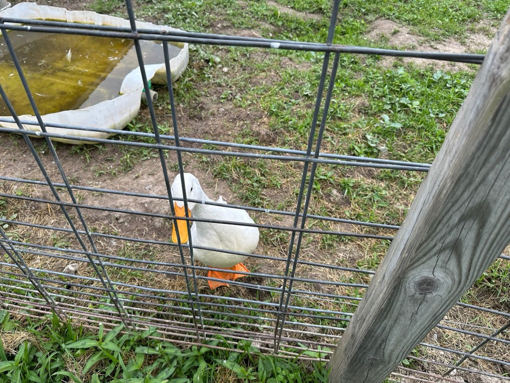
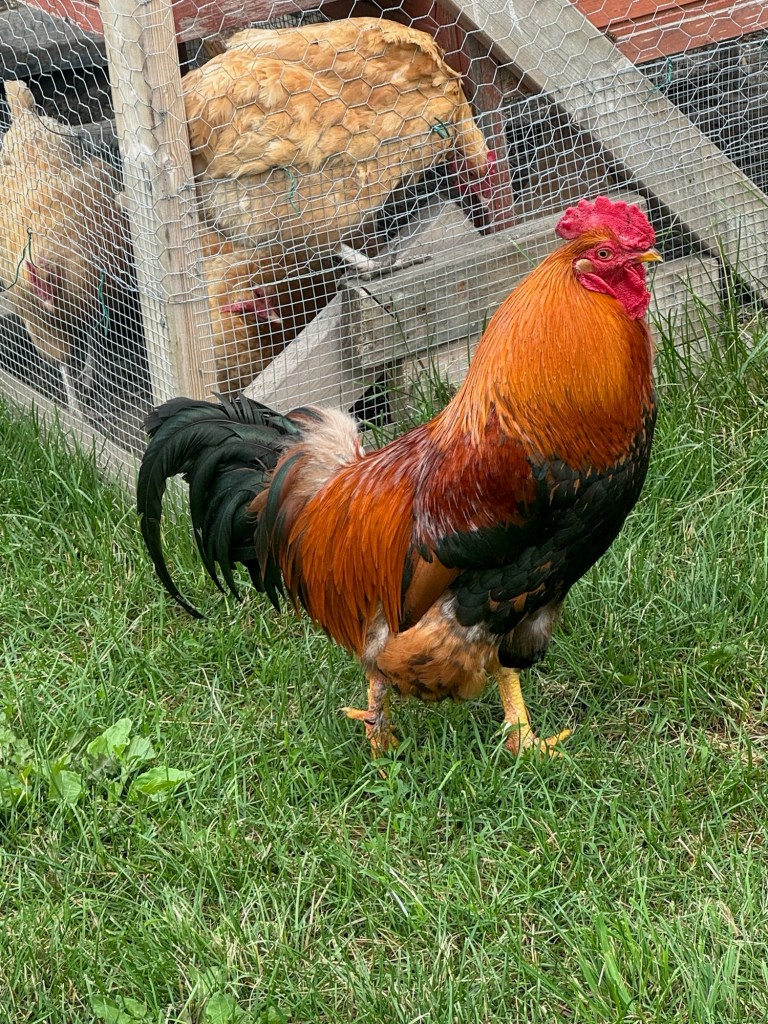
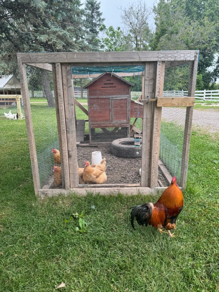
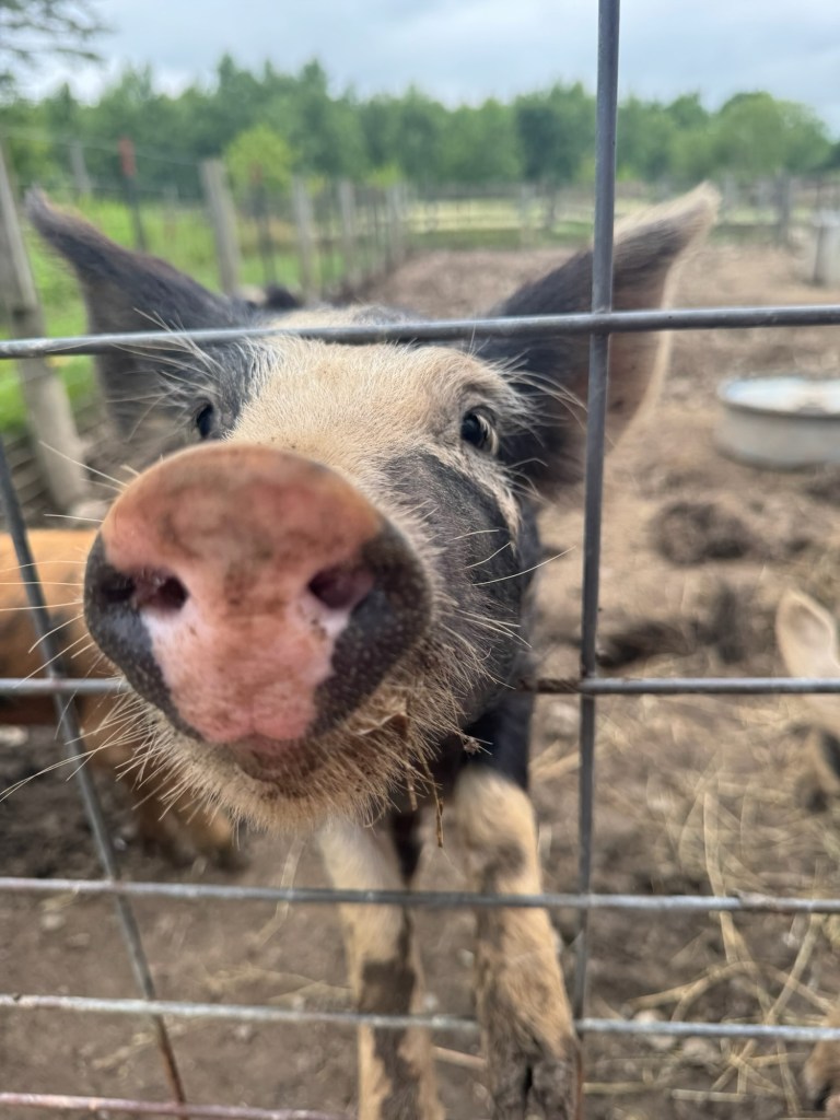
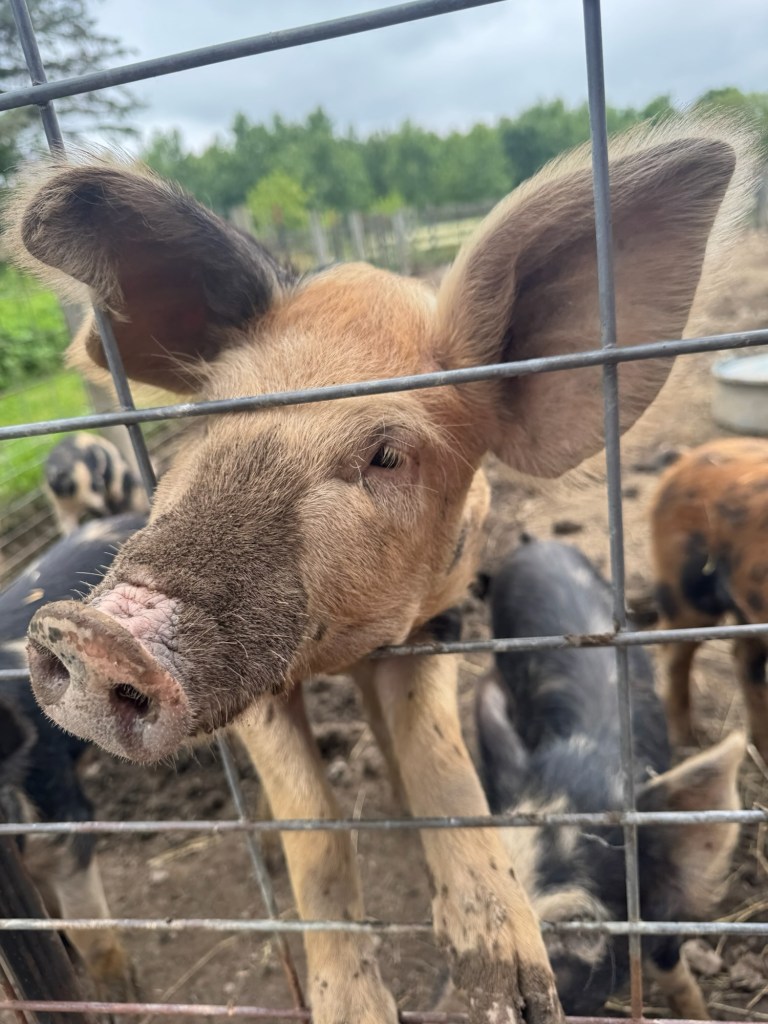
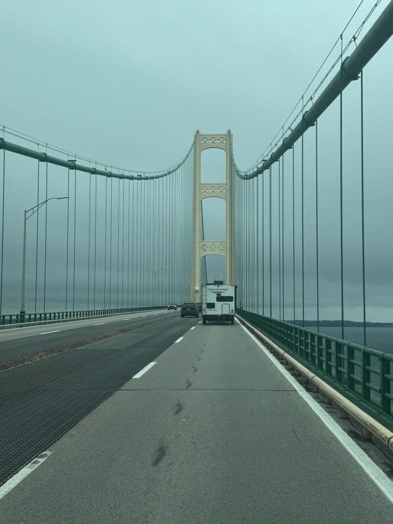
Morning at Almar was quiet. After eggs and coffee, we visited the farm store, purchasing some of their homemade apple cider vinegar drink (it’s supposedly got health benefits – it sounds a lot like kombucha), and a couple of apple cider slushees. Unfortunately, during the summer season, they only make donuts on the weekends. Naturally, we couldn’t leave without a visit to the resident animals: barn cats, farm dog, chickens, roosters, goats, horses, an enormous duck and the gruntiest, wiggliest pen of pigs. By mid-morning, we were on the road, headed toward Mackinaw City and the Mackinac Bridge, or “Mighty Mac” informally. Kevin got a little pushed around during our passage – those crosswinds are no joke.

So here we are in the UP, after a day and a half of travel. We will be spending tonight in Tahquamenon Falls State Park, at the Rivermouth Campground. It’s a State Park, so we needed both a Recreation Passport and a tow permit for the toad. The sites are wooded and wide with deep metal fire rings and electrical hookups. Most of the sites were occupied by campers, tents, and everything in between, kayaks and bikes piled up in truck beds and strapped to car roofs.

Eager to be outside after nearly 20 hours of travel, we ate a quick dinner and jumped in Elizabeth, heading to the Upper and Lower Falls – located around a half hour from our campsite. We grabbed sweatshirts, thinking that we might be chilly when the sun went down. We shouldn’t have been worried about the chill. We should have been worried about the mosquitos. Upon opening the car door in the parking lot next to the Upper Falls trailhead, we were swarmed by hundreds of them. We pulled our sleeves down, put hoods on, and headed towards the falls. There are no fewer than five cans of bug spray in the camper. Did anyone think to grab one? Nope. Those suckers snacked on us relentlessly. We kept moving, hoping the motion would keep them from biting, but no such luck. By the time we reached the boardwalk of switchbacks leading down to the viewing platform of the Upper Falls, the four of us were covered in tiny red bites.

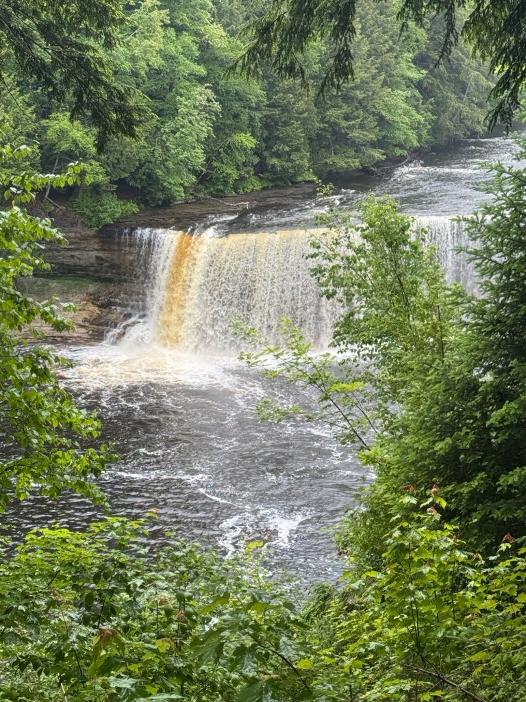
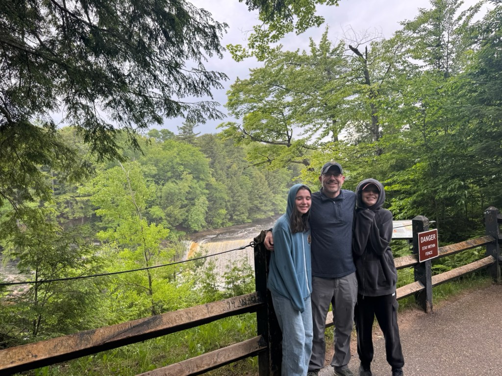
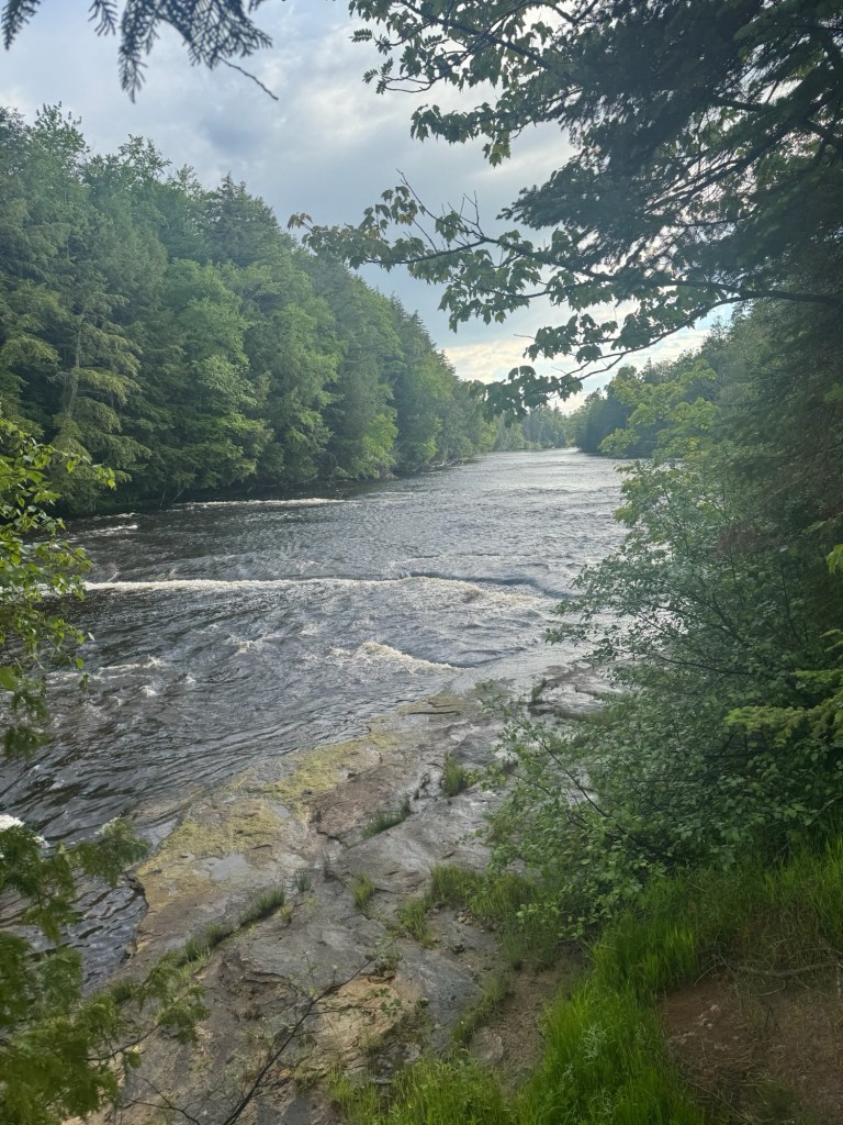
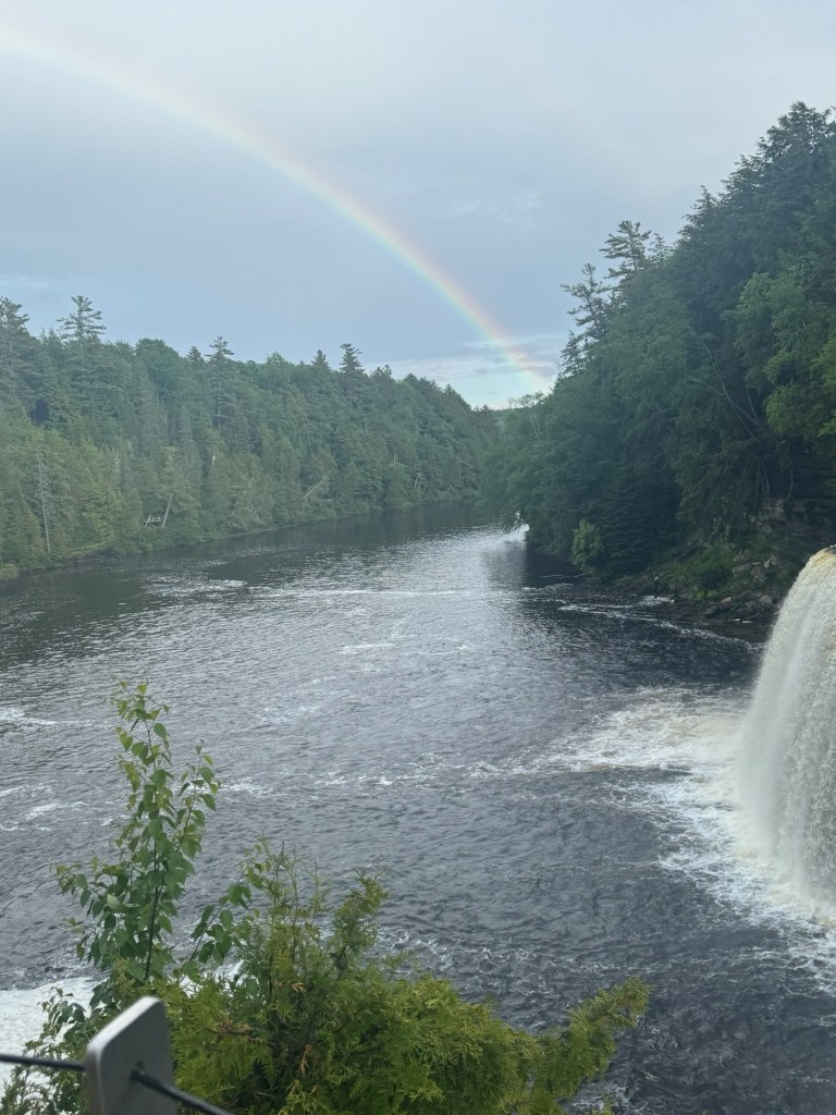
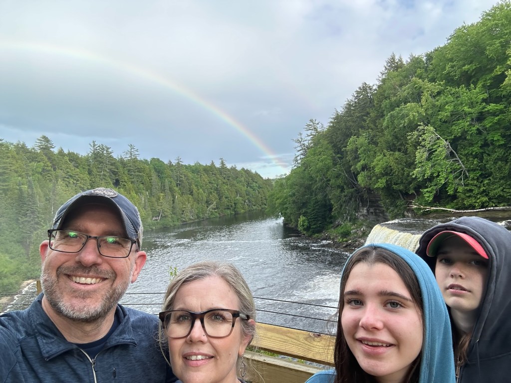
The falls are impressive at 50-feet high and 200-feet across, moving up to 50,000 gallons of water each second. The noise from the falls is impressive. The falls are nicknamed “Root Beer Falls” due to the amber-colored water that spills over the falls and the white foam that collects at the base of the falls. The unique color is from tannins that leach into the water from bark and plants in the hemlock and cedar swamps up the Tahquamenon River. As if to reward us for braving angry swarms of mosquitos, a rainbow appeared over the gorge as we stepped onto the platform… well played, Mother Nature.

After jumping back in the car, we rolled all the windows down to force the rest of the mosquito army back outside as we made our way a few miles down the road to the Lower Falls. The mosquitos there were just as relentless, so we settled for viewing two of the four lower falls from the closest viewing platform and sacrificed the 1.5 mile loop around the falls for the safety of the Mini and a quick trip to the convenience store before heading back to Rivermouth.

And now here we are, playing Racko and eating popcorn while we listen to peepers and smell the smoke from campfires – safe from mosquitos for the time being. We almost didn’t make it here. We almost chose to skip this year’s adventure. But we all have FOMO and FOMO always beats exhaustion and injury. Here’s to FOMO fueling another epic road trip.

Glacier & Banff Day 16: Come Down

Day 16: July 12, 2025 – Girard, PA – Canton, CT

Sixteen days, over 5,000 miles, six states, three provinces, and a hundred little moments that stitched this trip into something unforgettable. The road, with all its chaos and clarity, is behind us now… but we’re not quite ready to come down. There’s a weird weight to the end of something so big. We went the distance, found meaning in the small things, and carved out a rhythm in the in-between. And now? We’re heading home. But part of us is still somewhere on a quiet stretch of prairie road, windows down, singing like no one’s listening.

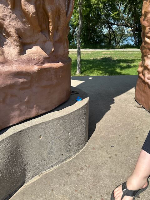
We left a final duck at the St. John’s Evangelical Lutheran Church at this last stop. Rob and I took our time, enjoyed one last “camper coffee” before hitting the road one final time. The drive home was a smooth one. While the girls hung out in their bunks, Rob and I spent most of the ride home plotting future trips. Not even home and we are itching to get out there again.

I’m excited to see my kids who have been left to their own devices for two weeks – with some family and neighborly support, of course! And I’m sure our pets will want our undivided attention.

I’ll let today be today. No unpacking the camper today. No starting the laundry. Just a hot shower, comfy jammies, and my couch that is calling my name!

All that other stuff can wait. I’ve still got a few vacation hours left. And the only question running through my mind is…

Where do we go next?

Cue: Come Down by Bush — because letting go of the road takes longer than unpacking the bags.

Glacier and Banff Day 15: The Distance

Day 15: July 11, 2025 – Oakdale, WI to Girard, PA

Endless road before us—today was all about forward motion, even when circumstances tried to prevent it. We went the distance… got delayed… and then went even more distance, making this our longest travel day of the trip. It was fate (and a bit of flexible planning) that had us end the night in a quiet church parking lot.

We drove a lot today. And we spent a lot of time in the RV—not all of it actually moving. Funny how things work out. We knew this would be our longest haul and got the early start we’d hoped for after a good night’s sleep. But the moment we hit Chicago, things went sideways. The roads were awful—bumpy, chewed-up, and mid-construction for what feels like the rest of time. The last time we brought Kevin through Chicago, it was just as bad. By the time we stopped for lunch at the Indiana Welcome Center, my head was rattled from the ride.

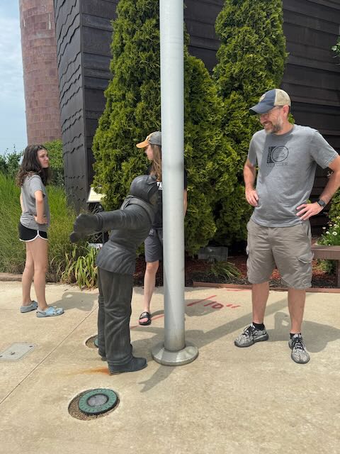
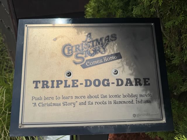
Side note: Welcome Centers are underrated. We’ve hit a few on this trip, and they offer big parking lots, clean bathrooms, and are usually easy to access from the highway. Plus, you stumble on little gems—like the Triple-Dog-Dare statue at the Indiana Welcome Center in Hammond. Remember the scene from A Christmas Story where Flick licks the frozen pole? Hammond is actually the real-life inspiration for the fictional town of Hohman. A fun photo op and, conveniently, right next to a Wendy’s for a quick bite.

It was there that Rob started pulling stones from the RV’s front tire tread and noticed some unusual wear on the driver’s side. He was convinced it would blow out and take the Jeep with it—definitely not the kind of road drama we needed with 1,200 miles still ahead. So, we rerouted to Tire Barn in Schererville, IN, who (bless them) miraculously had our tire in stock. These roadside angels had us swapped, balanced, and back on the highway in just over an hour.

Fresh tires in place, we hit the road again… only to hit wall-to-wall traffic. And we stayed in it. For HOURS. This became one of those days—the kind we usually try to avoid but sometimes just have to survive. Even with detours, it was stop-and-go through construction zones, pothole mazes, and general highway chaos.

By early evening, we waved the white flag and paused for dinner: pancakes and microwave bacon all around. The fridge is down to bare bones now, but since the kids usually sleep through breakfast, we repurposed the morning meal for a surprisingly satisfying *breakfast-for-dinner*.

Bleary-eyed and exhausted, we finally pulled into St. John’s Evangelical Lutheran Church in Girard, PA at 11:30 PM—a full 16 hours after leaving Oakdale (even with the time change). Rob parked Kevin under a big security light, we pulled the shades, and crashed hard. The church parking lot was silent, peaceful, and just what we needed after a day of dodging barrels and burning daylight.  There is a sense of accomplishment on these long days, even with the extreme exhaustion and the late arrivals.  Now that this happens to us only on rare occasions, it’s not so bad.  That said, I really don’t want this to happen again tomorrow.

Tomorrow… we’re home. Hard to believe. One more stretch and then our own beds!

End of Day Stats:

Mileage: 660 miles

Hours: 16

New Tires: 2

Rubber Ducks Deployed: 0 (didn’t even try)

Hippo Status: Brains officially jostled by roadwork

Cue The Distance by Cake—because today was all about going, pushing, crawling, inching… and getting there, one orange barrel at a time.

Glacier and Banff Day 14: In the Meantime

Day 14: July 10, 2025 – Jamestown, North Dakota to Oakdale, Wisconsin

We’re deep in that in-between space: not quite on vacation anymore, not quite back to real life. There’s a quiet kind of gratitude tucked into these tired miles, along with a little wishful thinking about future trips. Home is just over the horizon—we’re ready, but in the meantime, we’re still rolling.

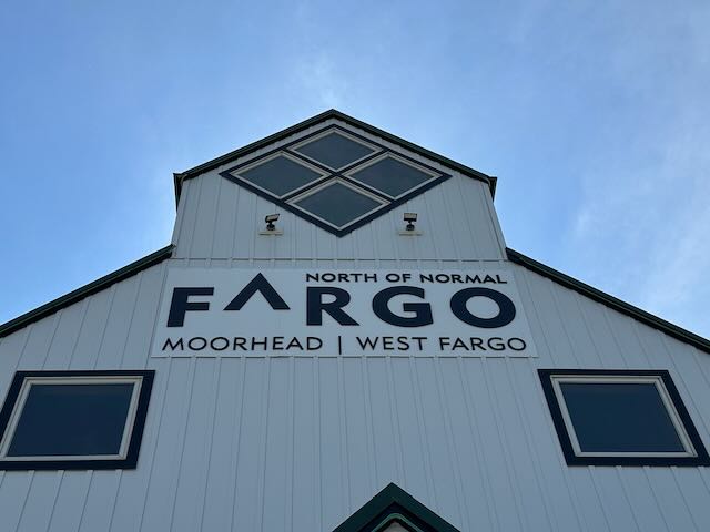
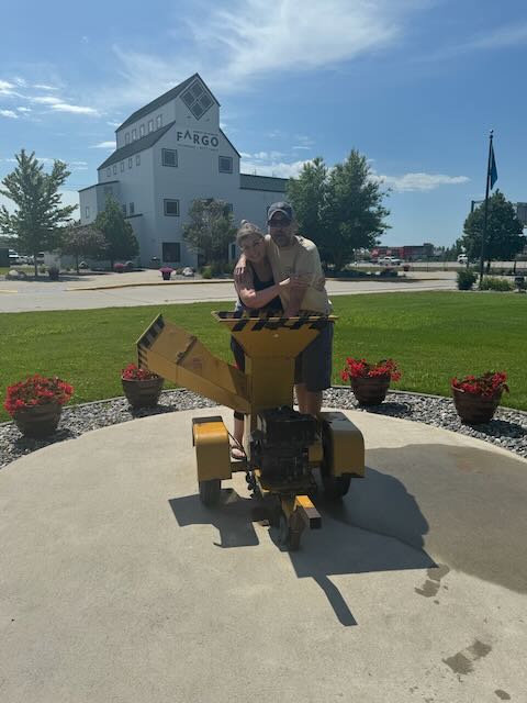
Today’s drive included a stop in Fargo, ND. Known for its bone-chilling winters, warm hospitality, and unmistakable Midwestern accent (“You betcha!”), Fargo is also a hub for agricultural research, tech startups, and manufacturing. It’s home to cultural gems like the Plains Art Museum and Bonanzaville (how I wished we had time to visit!). But for those of us who came of age in the ’90s, Fargo holds pop culture fame for something else entirely: a woodchipper.

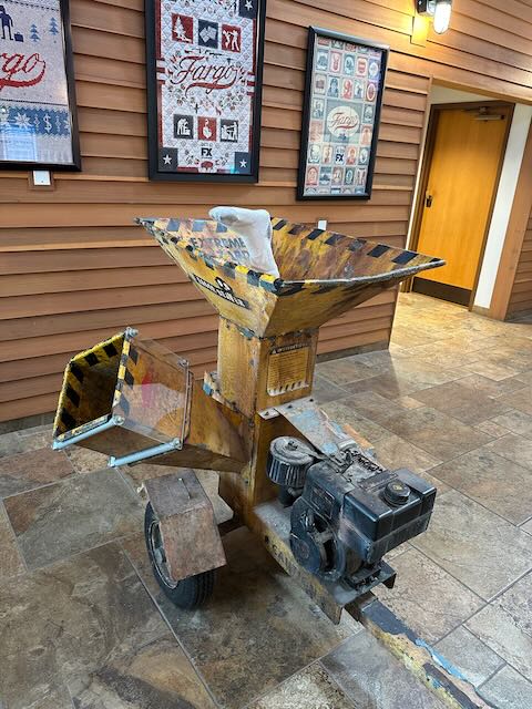
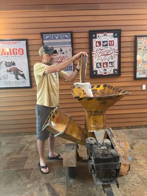
Yes—THAT woodchipper! The actual movie prop from Fargo resides in the Fargo-Moorhead Visitors Center, complete with fake leg, pile of wood, and Marge Gunderson-style trapper hats for tourists to wear in photos. There’s even a replica outside the center. It’s a quirky and fun roadside attraction—even if the film wasn’t actually shot in Fargo. Still, totally worth it.

Continuing east, our next stop was in Alexandria, MN, a nod to the area’s Scandinavian roots. There we met Big Ole—a 28-foot-tall Viking who stands proudly as a symbol of Alexandria’s Norse heritage. Originally built for the 1964–65 World’s Fair, he found a home in Alexandria shortly afterward. Over the years, Big Ole has had quite the saga: he’s been burned, toppled by wind, and crushed by a snow-laden roof. These days, he stands safely in a lakeside park near Lake Agnes. It was a fun and unexpected stop on a beautiful Minnesota afternoon.

Tonight, we landed at a KOA Journey in Oakdale, WI. Though we would’ve loved a walk after a long stretch on the road, the mosquitoes were relentless. Instead, Marlie, Rob and I coaxed Alyssa down from her bunk for a few rounds of Rack-O before bed. It was our last night at a campground before reaching home. One final stop at a Harvest Host tomorrow… then it’s back to Connecticut.

End of Day Stats:
Mileage:
620 miles
Rubber Ducks Deployed: 2 (one for the bison, one for Big Ole!)
Movie Memorabilia Visited: priceless
Rounds of Rack-O: 6

Cue: In the Meantime by Spacehog—dreamy, weird, and oddly comforting. The perfect soundtrack for this glazed-donut, post-trip haze.

Glacier and Banff Day 13: All the Small Things

Day 13: July 9, 2025 – Moose Jaw, Saskatchewan to Jamestown, North Dakota

We left the wide-open spaces of Canada behind and crossed back into the U.S., trading kilometers for miles and maple leaves for stars and stripes. It was a day of windshield time, grain silos, and horizon-chasing. Not fast, not glamorous, but steady, determined, and filled with the kind of momentum that only a good road trip can deliver.

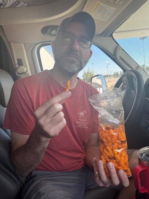
For a travel day, this one was jam-packed with unexpected fun and delightful little surprises. Around mid-morning, we reached the Canada/U.S. border at North Portal, ND and officially re-entered the States—but not before a final stop at the duty-free store to spend the last of our Canadian dollars and loonies ($1 coins). We left with a Canada t-shirt and a bag of Cheezies (highly recommended by the cashier). If you haven’t tried them, they’re like Canadian Cheetos—extra crunchy with a bold cheese flavor. A+ snack.

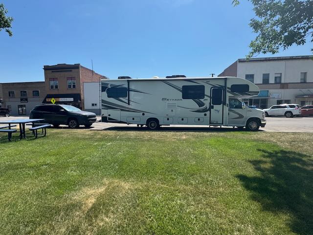
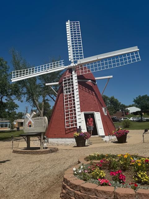
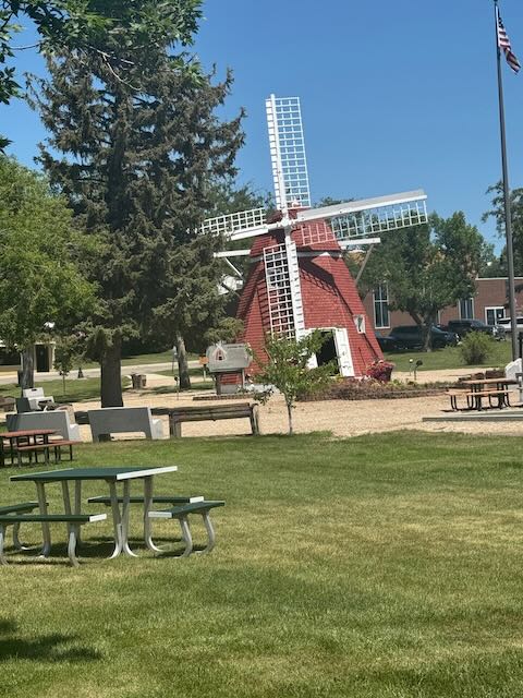
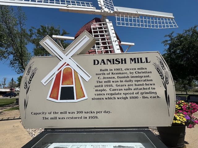
Once again, North Dakota didn’t disappoint. If you’re sleeping on visiting North Dakota—big mistake! We’ve had more fun here than we ever expected. In the tiny town of Kenmare, we pulled off for lunch and accidentally discovered The Danish Mill. Built in 1902 by a Danish immigrant, the windmill originally operated 11 miles outside of town until 1917 before becoming a granary. It was moved to its current spot in Kenmare’s Town Center in 1959 (population: 914). You can go inside, climb to the second level, see the two 1,800 lb grindstones, and even peek up to the highest level via a wooden ladder. The park is surrounded by charming little shops and tidy homes—it’s the kind of unplanned stop that makes travel so special. Who visits Kenmare? More people should. It was a delight.

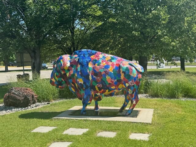
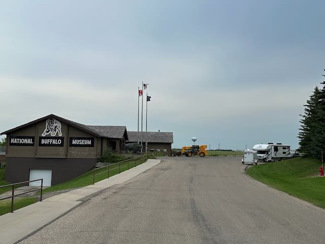
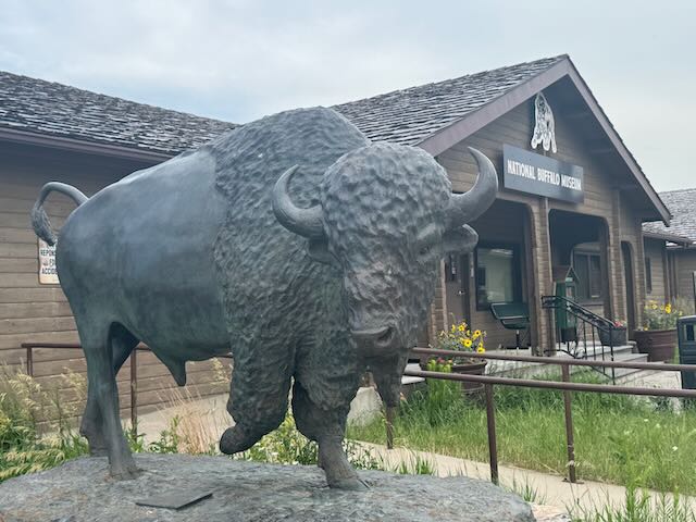
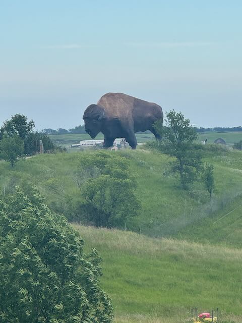
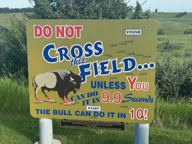
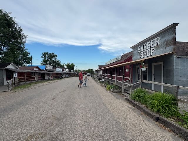
From there, we made our way to tonight’s Harvest Host: the North American Bison Discovery Center. Though the museum was closed by the time we arrived, we lucked out—there was a small herd of bison grazing in the nearby field! In addition to the real deal, we also visited Dakota Thunder, the “Largest Buffalo in the World.” This massive concrete-and-steel statue stands 26 feet tall, stretches 46 feet long, and weighs 60 tons. It’s part of Frontier Town, a living museum next to the Discovery Center. Seeing it up close was both impressive and fun.

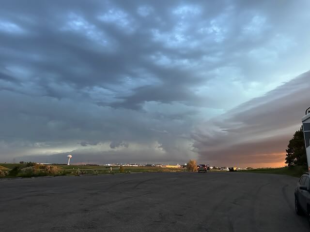
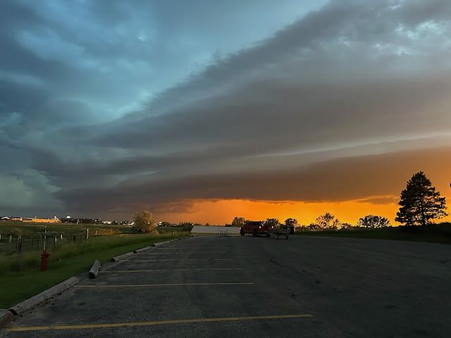
Just as we settled into the RV to watch the new John Cena movie (thank you, Starlink—and don’t judge; after a full day of driving, a little mindless entertainment is well-earned), the sky turned from a glowing red-and-orange sunset to an ominous greenish-black. The wind picked up, lightning flashed like a strobe light, and the hail started – suddenly Stutsman County was under a severe thunderstorm watch.

We quickly shifted into emergency mode, making an evacuation plan in case of a tornado. We pulled in the RV slide and decided our shelter would be under the museum’s deck if we spotted a funnel cloud or heard sirens. Being on a hill eased flood concerns, but high winds, hail, and falling trees were a real threat. For about an hour, we huddled in the RV, monitoring the weather, gathering supplies, and preparing for a fast exit if needed.

Then, just like that, the storm passed—leaving only a steady drizzle behind. We exhaled, powered the movie back up, and carried on with our night.

An exciting end to our first day back Stateside!

End of Day Stats:
Mileage: 440 miles
International Borders Crossed: 1
Rubber Ducks Deployed: 1 (Danish Mill)
Bison Seen: 1 small herd; 1 massive concrete statue

Cue: All the Small Things by Blink-182—because it’s the little, quirky, totally unexpected moments that stick with you the most.